File:Vosgessatellite.png

Size of this preview: 800 × 544 pixels. Other resolutions: 320 × 218 pixels | 640 × 436 pixels | 1,024 × 697 pixels | 1,221 × 831 pixels.
Original file (1,221 × 831 pixels, file size: 2.13 MB, MIME type: image/png)
Captions
Captions
Add a one-line explanation of what this file represents
Summary
edit
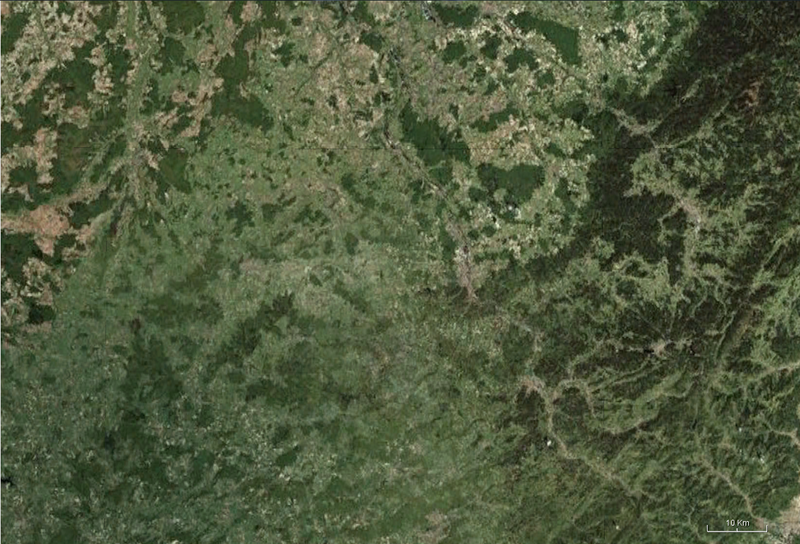
| Description | Satellite picture of the Vosges (department) |
| Date | |
| Source | World Wind |
| Author | Nasa |
Licensing
edit
| This image is in the public domain because it is a screenshot from NASA’s globe software World Wind using a public domain layer, such as Blue Marble, MODIS, Landsat, SRTM, USGS or GLOBE.
|
 |
File history
Click on a date/time to view the file as it appeared at that time.
| Date/Time | Thumbnail | Dimensions | User | Comment | |
|---|---|---|---|---|---|
| current | 22:01, 25 May 2010 | | 1,221 × 831 (2.13 MB) | Nico884 (talk | contribs) | {{Information |Description=Satellite picture of the Vosges (department) |Source= World Wind |Date=05/2010 |Author=Nasa |Permission= {{PD-WorldWind}} |other_versions= }} Category:Satellite pictures Category:France Category:Geography |
You cannot overwrite this file.
File usage on Commons
There are no pages that use this file.
File usage on other wikis
The following other wikis use this file:
- Usage on als.wikipedia.org
- Usage on el.wikipedia.org
- Usage on fr.wikipedia.org