File:Europe location ARM.png
Size of this preview: 800 × 600 pixels. Other resolutions: 320 × 240 pixels | 640 × 480 pixels | 1,024 × 768 pixels | 1,280 × 960 pixels | 1,600 × 1,200 pixels.
Original file (1,600 × 1,200 pixels, file size: 152 KB, MIME type: image/png)
Captions
Captions
Add a one-line explanation of what this file represents
| Description |
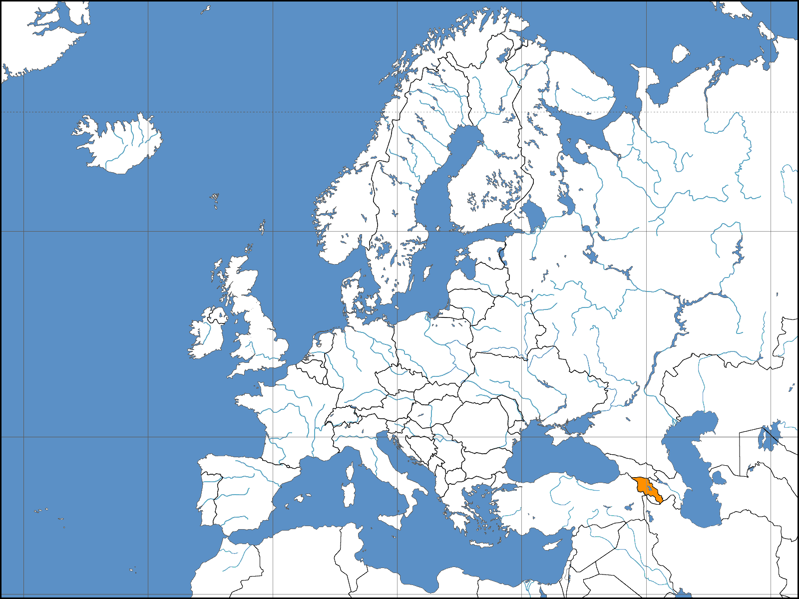
Deutsch: Lage der Republik Armenien in Europa Stand: October 2006 |
||||||||
| Date | |||||||||
| Source | Based on work by David Liuzzo | ||||||||
| Author | Aivazovsky | ||||||||
| Permission (Reusing this file) |
I, the copyright holder of this work, hereby publish it under the following licenses:
This file is licensed under the Creative Commons Attribution-Share Alike 2.0 Germany license.
 You may select the license of your choice. |

File history
Click on a date/time to view the file as it appeared at that time.
| Date/Time | Thumbnail | Dimensions | User | Comment | |
|---|---|---|---|---|---|
| current | 23:35, 2 January 2007 | | 1,600 × 1,200 (152 KB) | Aivazovsky~commonswiki (talk | contribs) | Reverted to earlier revision |
| 19:15, 1 January 2007 |  | 1,600 × 1,200 (160 KB) | IAMTHEEGGMAN (talk | contribs) | Reverted to earlier revision | |
| 17:12, 19 November 2006 |  | 1,600 × 1,200 (152 KB) | Aivazovsky~commonswiki (talk | contribs) | ||
| 04:12, 8 November 2006 |  | 1,600 × 1,200 (160 KB) | Arniep (talk | contribs) | Reverted to earlier revision | |
| 04:04, 8 November 2006 |  | 1,600 × 1,200 (137 KB) | Eupator (talk | contribs) | Reverted to earlier revision | |
| 01:36, 8 November 2006 |  | 1,600 × 1,200 (160 KB) | DLiuzzo (talk | contribs) | '''STOP CHANGING THE MAP!!!''' '''Don't Change the Borders on MY MAPS!!!''' {{Information| |Description={{de|Politische Karte des Kontinents Europa. Leere Lagekarte zur Darstellung der Lage von Staaten in Europa. Europa ist grau hervorgehoben.}} |Source | |
| 01:22, 8 November 2006 |  | 1,600 × 1,200 (137 KB) | Eupator (talk | contribs) | Reverted to earlier revision | |
| 00:55, 8 November 2006 |  | 1,600 × 1,200 (160 KB) | DLiuzzo (talk | contribs) | {{Information| |Description={{de|Politische Karte des Kontinents Europa. Leere Lagekarte zur Darstellung der Lage von Staaten in Europa. Europa ist grau hervorgehoben.}} |Source= Own Work |Date= 02.11.2006 |Author= David Liuzzo |Perm | |
| 21:43, 7 November 2006 |  | 1,600 × 1,200 (137 KB) | Khoikhoi~commonswiki (talk | contribs) | Reverted to earlier revision | |
| 06:52, 6 November 2006 |  | 1,600 × 1,200 (160 KB) | DLiuzzo (talk | contribs) | {{Information| |Description={{de|Politische Karte des Kontinents Europa. Leere Lagekarte zur Darstellung der Lage von Staaten in Europa. Europa ist grau hervorgehoben.}} |Source= Own Work |Date= 02.11.2006 |Author= David Liuzzo |Perm |
You cannot overwrite this file.
File usage on Commons
There are no pages that use this file.
File usage on other wikis
The following other wikis use this file:
- Usage on als.wikipedia.org
- Usage on as.wikipedia.org
- Usage on av.wikipedia.org
- Usage on bat-smg.wikipedia.org
- Usage on bh.wikipedia.org
- Usage on bn.wikipedia.org
- Usage on bo.wikipedia.org
- Usage on da.wikipedia.org
- Usage on de.wiktionary.org
- Usage on dv.wikipedia.org
- Usage on eml.wikipedia.org
- Usage on en.wikipedia.org
- Usage on fa.wikipedia.org
- Usage on fo.wikipedia.org
- Usage on kg.wikipedia.org
- Usage on mai.wikipedia.org
- Usage on mk.wikipedia.org
- Usage on ne.wikipedia.org
- Usage on pa.wikipedia.org
- Usage on pdc.wikipedia.org
- Usage on pt.wiktionary.org
View more global usage of this file.