File:Wilcza centre.jpg
Size of this preview: 800 × 475 pixels. Other resolutions: 320 × 190 pixels | 640 × 380 pixels | 1,024 × 608 pixels | 1,280 × 760 pixels | 2,500 × 1,485 pixels.
Original file (2,500 × 1,485 pixels, file size: 2.49 MB, MIME type: image/jpeg)
Captions
Captions
Add a one-line explanation of what this file represents
Summary
edit
| Description |
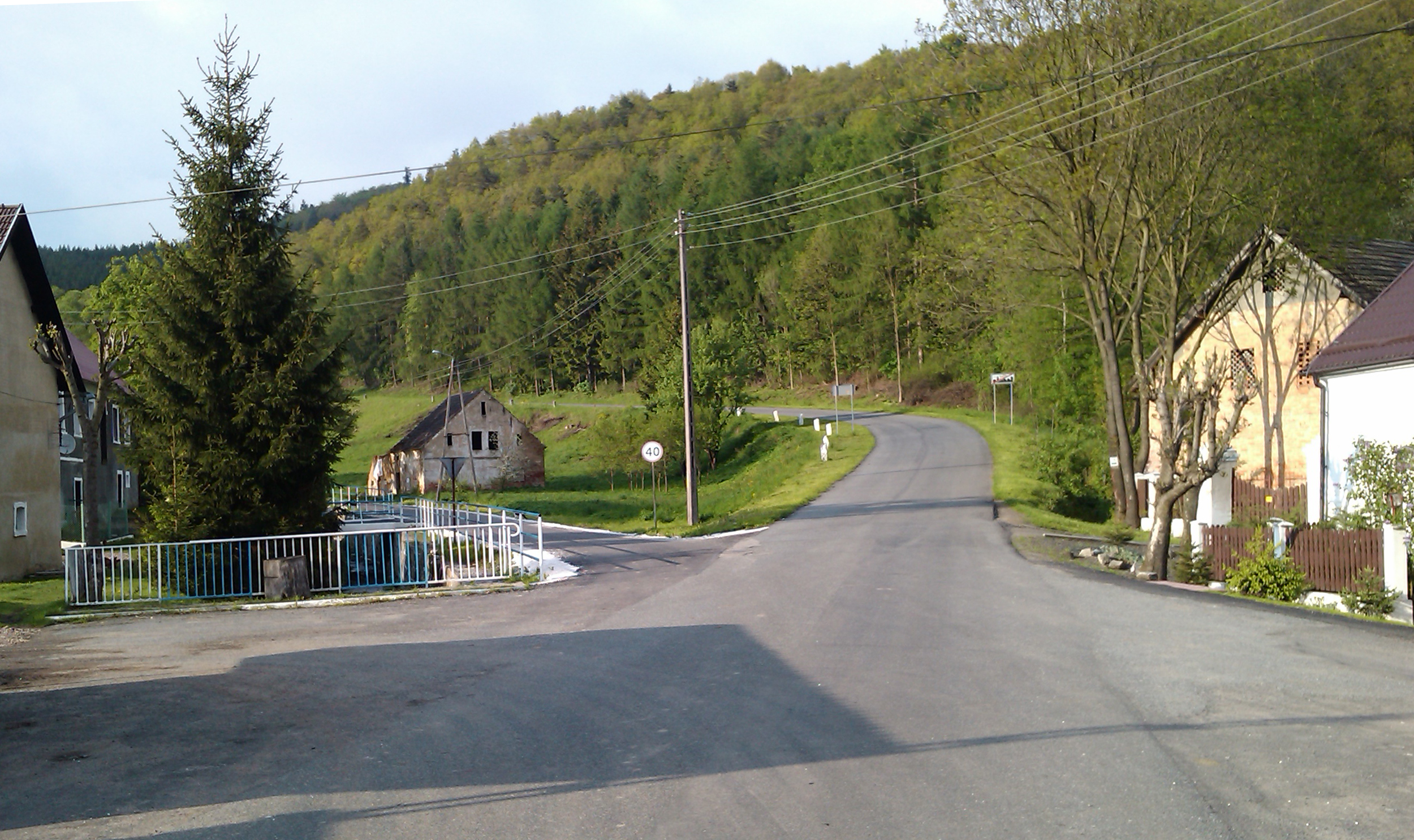
English: Wilcza village
Polski: Wieś Wilcza. |
| Date | |
| Source | Own work |
| Author | Paweł Kuźniar Jojo, en:Jojo_1, pl:Jojo |
| Camera location | | View this and other nearby images on: OpenStreetMap |
|---|
Licensing
edit
I, the copyright holder of this work, hereby publish it under the following licenses:

|
Permission is granted to copy, distribute and/or modify this document under the terms of the GNU Free Documentation License, Version 1.2 or any later version published by the Free Software Foundation; with no Invariant Sections, no Front-Cover Texts, and no Back-Cover Texts. A copy of the license is included in the section entitled GNU Free Documentation License. |
This file is licensed under the Creative Commons Attribution-Share Alike 4.0 International, 3.0 Unported, 2.5 Generic, 2.0 Generic and 1.0 Generic license.
- You are free:
- to share – to copy, distribute and transmit the work
- to remix – to adapt the work
- Under the following conditions:
- attribution – You must give appropriate credit, provide a link to the license, and indicate if changes were made. You may do so in any reasonable manner, but not in any way that suggests the licensor endorses you or your use.
- share alike – If you remix, transform, or build upon the material, you must distribute your contributions under the same or compatible license as the original.
You may select the license of your choice.
| Annotations | This image is annotated: View the annotations at Commons |
File history
Click on a date/time to view the file as it appeared at that time.
| Date/Time | Thumbnail | Dimensions | User | Comment | |
|---|---|---|---|---|---|
| current | 20:36, 13 November 2016 | | 2,500 × 1,485 (2.49 MB) | Jacek Halicki (talk | contribs) | tilt, cut |
| 09:26, 22 May 2010 |  | 2,560 × 1,920 (1.66 MB) | Jojo (talk | contribs) | {{Information |Description={{en|1=Wilcza village}} {{pl|1=Wieś Wilcza.}} |Source=own work |Author=Paweł Kuźniar Jojo, en:Jojo_1, pl:Jojo |Date=2010-05-20 |Permission= |other_versions= }} [[Cat |
You cannot overwrite this file.
File usage on Commons
There are no pages that use this file.
File usage on other wikis
The following other wikis use this file:
- Usage on de.wikipedia.org
- Usage on pl.wikipedia.org
- Usage on uk.wikipedia.org