File:Warmia1.jpg
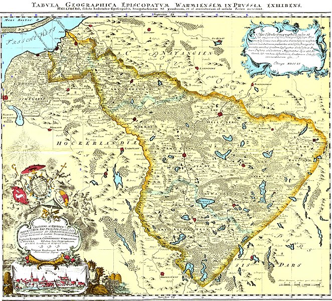
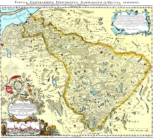
Size of this preview: 663 × 599 pixels. Other resolutions: 266 × 240 pixels | 531 × 480 pixels | 850 × 768 pixels | 1,133 × 1,024 pixels | 2,266 × 2,048 pixels | 3,267 × 2,953 pixels.
Original file (3,267 × 2,953 pixels, file size: 2.62 MB, MIME type: image/jpeg)
Captions
Captions
Add a one-line explanation of what this file represents
Summary
edit
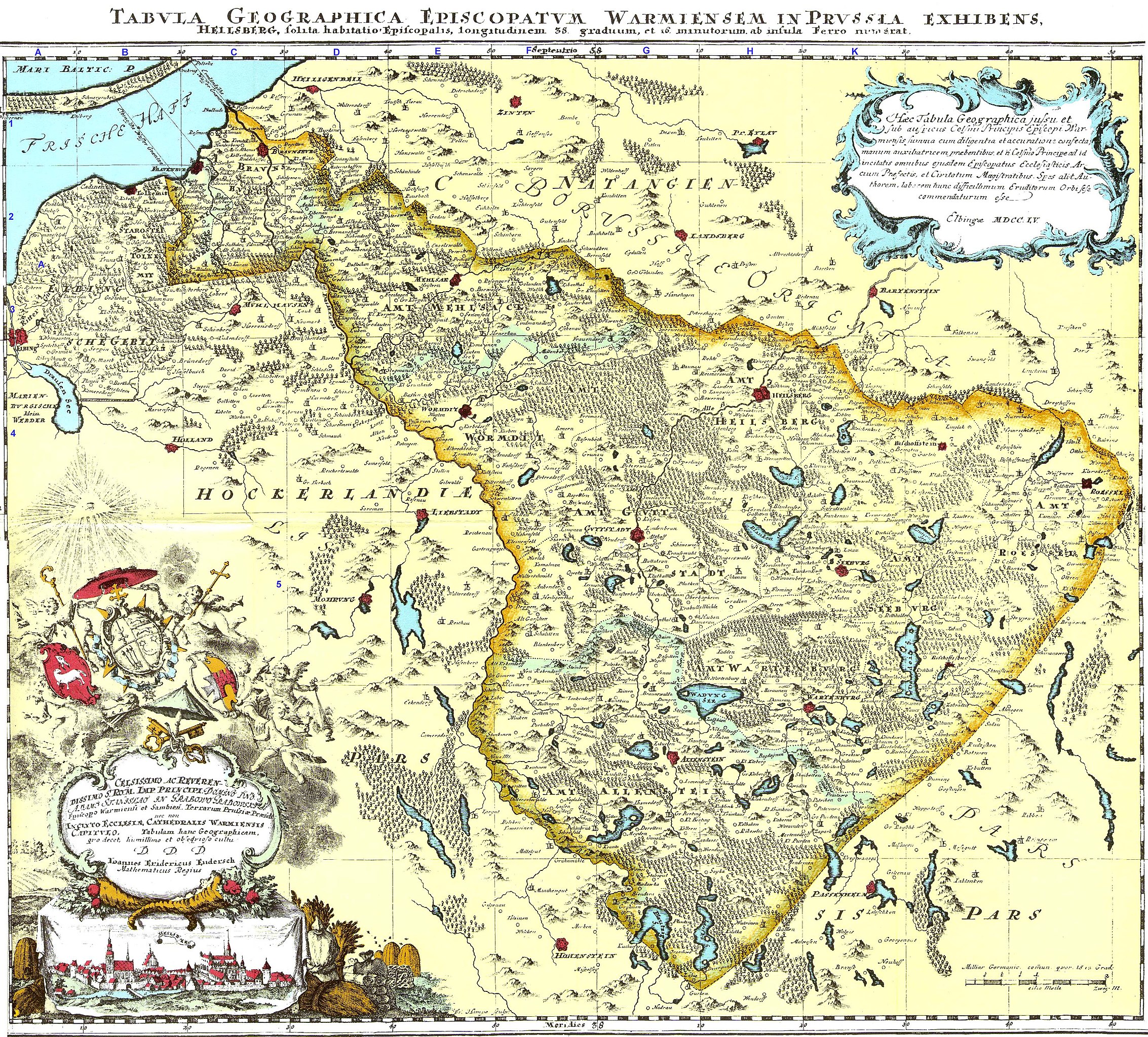
| Description |
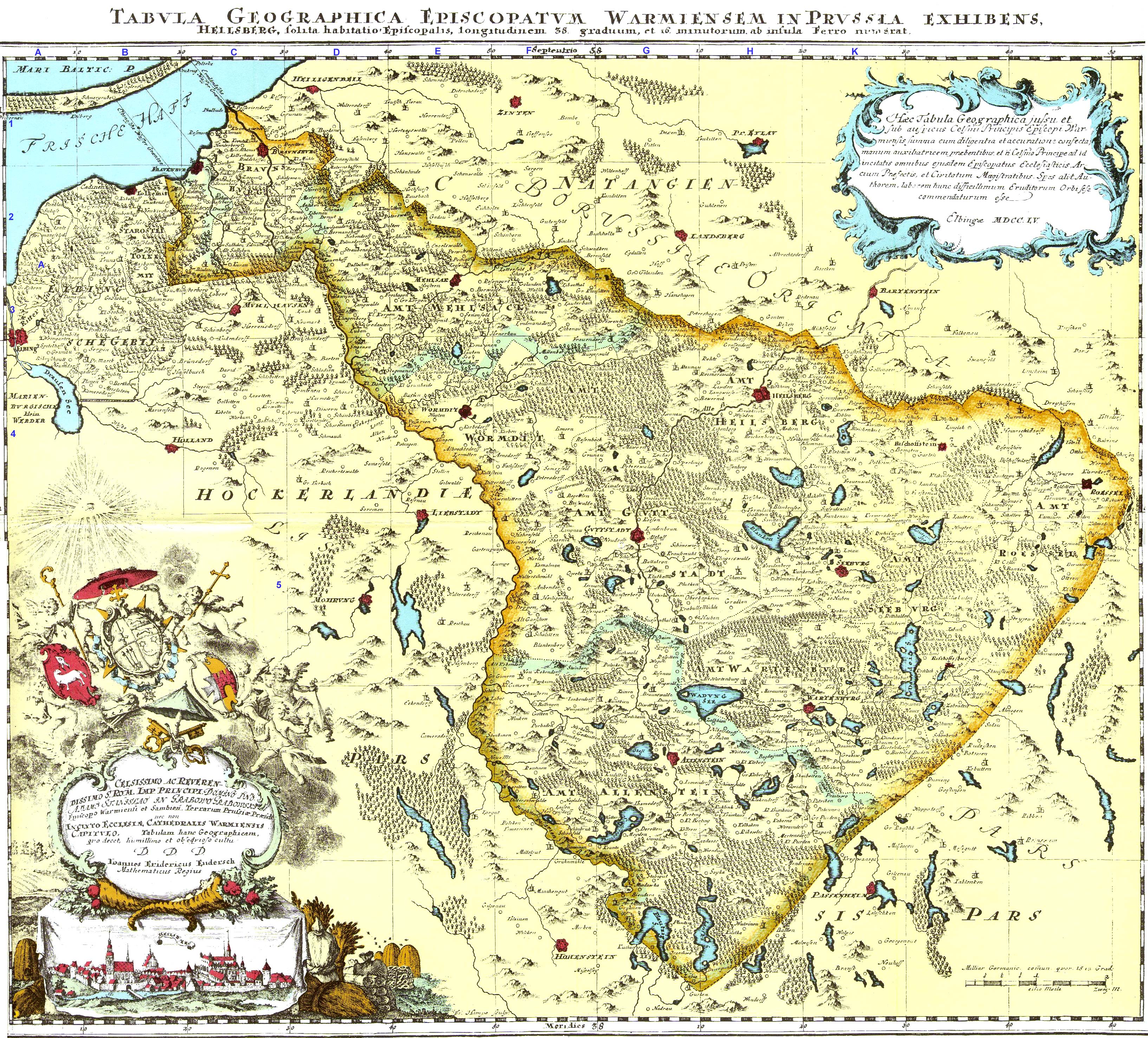
Polski: Mapa biskupstwa warmińskiego wykonana na zamówienie bp. Adama Grabowskiego w 1755. Autorem pracy jest kartograf i sztycharz z Elbląga Jan Fryderyk Endersch (1705-1796) Latina: Tabula Geographica Episcopatum Warmiensem in Prussia. Heilsberg, solis habitatio episcopatem, longitudinem 38 graduum et 16 minutorum an insula Ferro numerat English: Map of the bishopric of Warmia in Prussia, with modern day Polish names added to it. Deutsch: Karte des Fürstbistums Ermland von Johann Friedrich Endersch (1755). Links unten Widmung an den Fürstbischof Adam Stanislaus Grabowski |
| Date | |
| Source | reprint |
| Author | Johann Friedrich Endersch |
Licensing
edit
|
This work is in the public domain in its country of origin and other countries and areas where the copyright term is the author's life plus 100 years or fewer. | |
| This file has been identified as being free of known restrictions under copyright law, including all related and neighboring rights. | |
File history
Click on a date/time to view the file as it appeared at that time.
| Date/Time | Thumbnail | Dimensions | User | Comment | |
|---|---|---|---|---|---|
| current | 08:21, 21 February 2018 | | 3,267 × 2,953 (2.62 MB) | Popik (talk | contribs) | Wersja bez współczesnych podkreśleń miejscowości. |
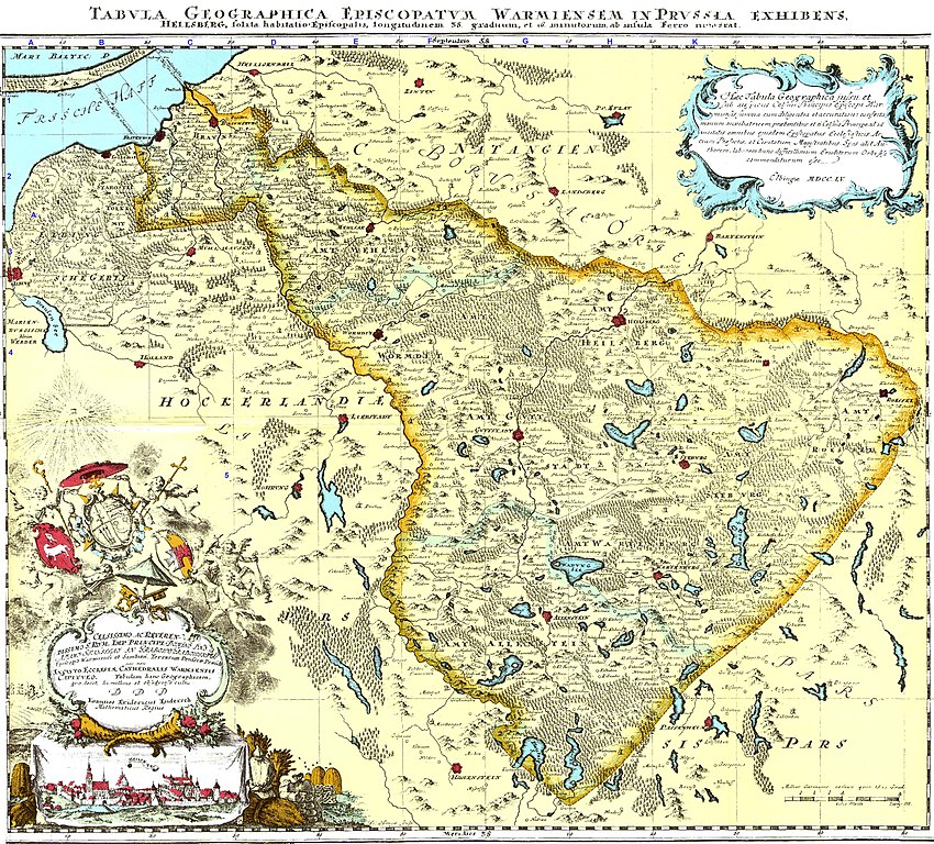
| 10:39, 30 June 2008 |  | 5,122 × 4,500 (4.03 MB) | Telewizjamsi (talk | contribs) | {{Information |Description={{pl|1=Mapa biskupstwa warmińskiego wykonana na zamówienie bp. Adama Grabowskiego w 1775. Autorem pracy jest kartograf i sztycharz z Elbląga Jan Fryderyk Endersch (1705-1796)}} |Source=reprint |Author=Jan Fryderyk Endersch |D |
You cannot overwrite this file.
File usage on Commons
The following page uses this file:
File usage on other wikis
The following other wikis use this file:
- Usage on bg.wikipedia.org
- Usage on da.wikipedia.org
- Usage on de.wikipedia.org
- Usage on en.wikipedia.org
- Usage on eo.wikipedia.org
- Usage on et.wikipedia.org
- Usage on la.wikipedia.org
- Usage on lt.wikipedia.org
- Usage on no.wikipedia.org
- Usage on pl.wikipedia.org
- Usage on pt.wikipedia.org
- Usage on ru.wikipedia.org
- Usage on sl.wikipedia.org
- Usage on uk.wikipedia.org
- Usage on www.wikidata.org