File:BalakliiaCitySign.jpg

Size of this preview: 450 × 600 pixels. Other resolutions: 180 × 240 pixels | 360 × 480 pixels | 576 × 768 pixels | 768 × 1,024 pixels | 1,944 × 2,592 pixels.
Original file (1,944 × 2,592 pixels, file size: 659 KB, MIME type: image/jpeg)
Captions
Captions
Add a one-line explanation of what this file represents
Summary
edit
| Camera location | | View this and other nearby images on: OpenStreetMap |
|---|
| Description |
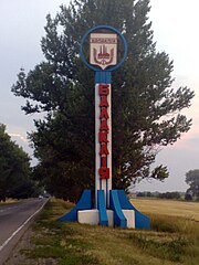
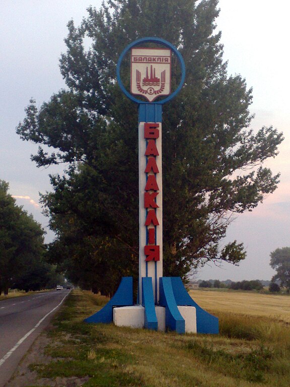
English: Balakliia City Sign |
| Date | |
| Source | Own work |
| Author | Obischoff |
+49° 28' 24.21", +36° 53' 22.35"
Licensing
edit
I, the copyright holder of this work, hereby publish it under the following license:
This file is licensed under the Creative Commons Attribution 3.0 Unported license.
- You are free:
- to share – to copy, distribute and transmit the work
- to remix – to adapt the work
- Under the following conditions:
- attribution – You must give appropriate credit, provide a link to the license, and indicate if changes were made. You may do so in any reasonable manner, but not in any way that suggests the licensor endorses you or your use.
File history
Click on a date/time to view the file as it appeared at that time.
| Date/Time | Thumbnail | Dimensions | User | Comment | |
|---|---|---|---|---|---|
| current | 08:33, 15 February 2009 | | 1,944 × 2,592 (659 KB) | Obischoff (talk | contribs) | {{Information |Description={{en|1=Balakliia City Sign}} |Source=Own work by uploader |Author=Obischoff |Date=2008-07-15 |Permission= |other_versions= }} +49° 28' 24.21", +36° 53' 22.35" <!--{{ImageUpload|full}}--> |
You cannot overwrite this file.
File usage on Commons
The following 2 pages use this file:
File usage on other wikis
The following other wikis use this file:
- Usage on ar.wikipedia.org
- Usage on be-tarask.wikipedia.org
- Usage on da.wikipedia.org
- Usage on de.wikipedia.org
- Usage on en.wikipedia.org
- Usage on es.wikipedia.org
- Usage on fa.wikipedia.org
- Usage on ja.wikipedia.org
- Usage on ka.wikipedia.org
- Usage on nl.wikipedia.org
- Usage on uk.wikipedia.org
- Usage on zh.wikipedia.org