File:Relief Map of Northern Ireland.png

Size of this preview: 705 × 599 pixels. Other resolutions: 282 × 240 pixels | 565 × 480 pixels | 806 × 685 pixels.
Original file (806 × 685 pixels, file size: 689 KB, MIME type: image/png)
Captions
Captions
Add a one-line explanation of what this file represents
Summary
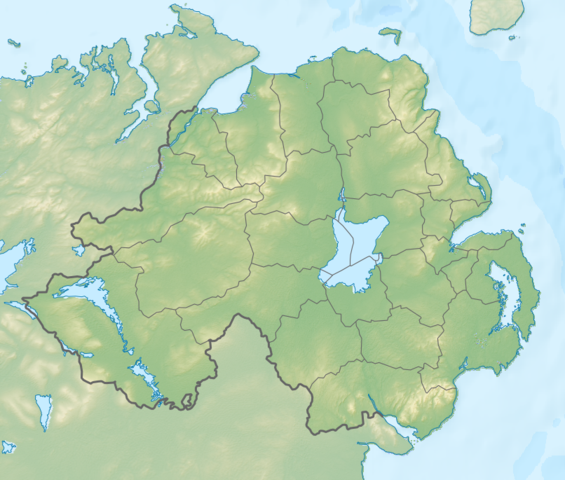
edit| Description |
Русский: Физическая карта Северной Ирландии.
English: Relief map of Northern Ireland.
|
| Date | |
| Source |
|
| Author | Nzeemin |
| Other versions |
|

Licensing
edit
I, the copyright holder of this work, hereby publish it under the following license:
This file is licensed under the Creative Commons Attribution-Share Alike 3.0 Unported license.
- You are free:
- to share – to copy, distribute and transmit the work
- to remix – to adapt the work
- Under the following conditions:
- attribution – You must give appropriate credit, provide a link to the license, and indicate if changes were made. You may do so in any reasonable manner, but not in any way that suggests the licensor endorses you or your use.
- share alike – If you remix, transform, or build upon the material, you must distribute your contributions under the same or compatible license as the original.
File history
Click on a date/time to view the file as it appeared at that time.
| Date/Time | Thumbnail | Dimensions | User | Comment | |
|---|---|---|---|---|---|
| current | 13:13, 3 October 2012 | | 806 × 685 (689 KB) | Nzeemin (talk | contribs) | fixed lost bathymetry |
| 12:49, 3 October 2012 |  | 806 × 685 (646 KB) | Nzeemin (talk | contribs) | User created page with UploadWizard |
You cannot overwrite this file.
File usage on Commons
There are no pages that use this file.
File usage on other wikis
The following other wikis use this file:
- Usage on ar.wikipedia.org
- Usage on az.wikipedia.org
- Usage on ba.wikipedia.org
- Usage on bg.wikipedia.org
- Белфаст
- Оума
- Банбридж
- Коулрейн
- Страбан
- Балимина
- Кукстаун
- Ларн
- Нютаунардс
- Енискилън
- Холиуд
- Нюри
- Арма
- Нюкасъл (Северна Ирландия)
- Бангор (Северна Ирландия)
- Лърган
- Крейгейвън
- Мойра
- Портадаун
- Пойнцпас
- Уорънпойнт
- Даунпатрик
- Лисбърн
- Хилсбъроу (Северна Ирландия)
- Дроумор
- Балигауън
- Сейнтфийлд
- Балинахинч
- Каридъф
- Комбър
- Кросгар
- Донахади
- Дъндоналд
- Килкийл
- Ратфриланд
- Антрим
- Баликасъл
- Баликлеър
- Балимъни
- Бушмилс
- Карнлох
- Крумлин
- Грийнайланд
- Нютаунаби
- Портръш
- Рандалстаун (Северна Ирландия)
- Коулайланд
View more global usage of this file.