File:Democratic Republic of the Congo location map.svg

Size of this PNG preview of this SVG file: 630 × 600 pixels. Other resolutions: 252 × 240 pixels | 504 × 480 pixels | 807 × 768 pixels | 1,075 × 1,024 pixels | 2,151 × 2,048 pixels | 1,150 × 1,095 pixels.
Original file (SVG file, nominally 1,150 × 1,095 pixels, file size: 1.11 MB)
Captions
Captions
Add a one-line explanation of what this file represents
Summary
edit
| Description |
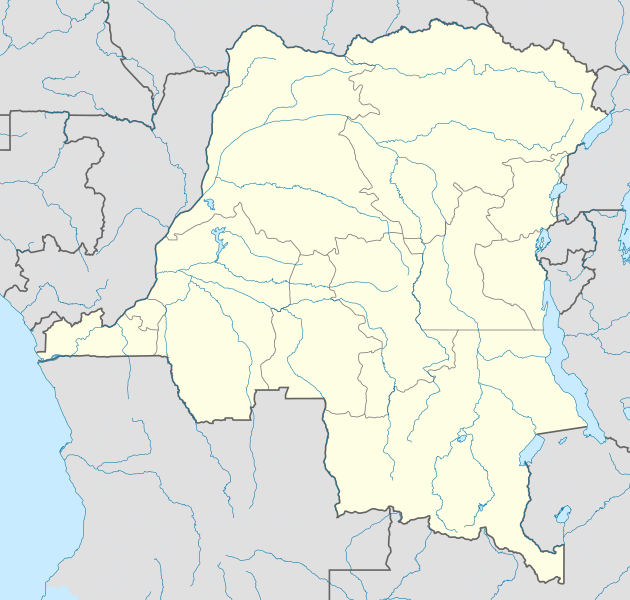
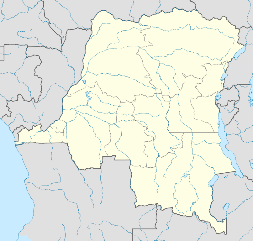
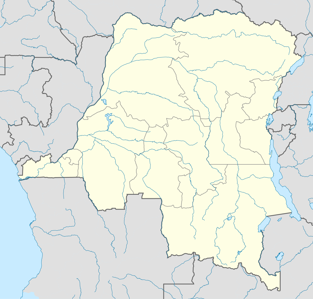
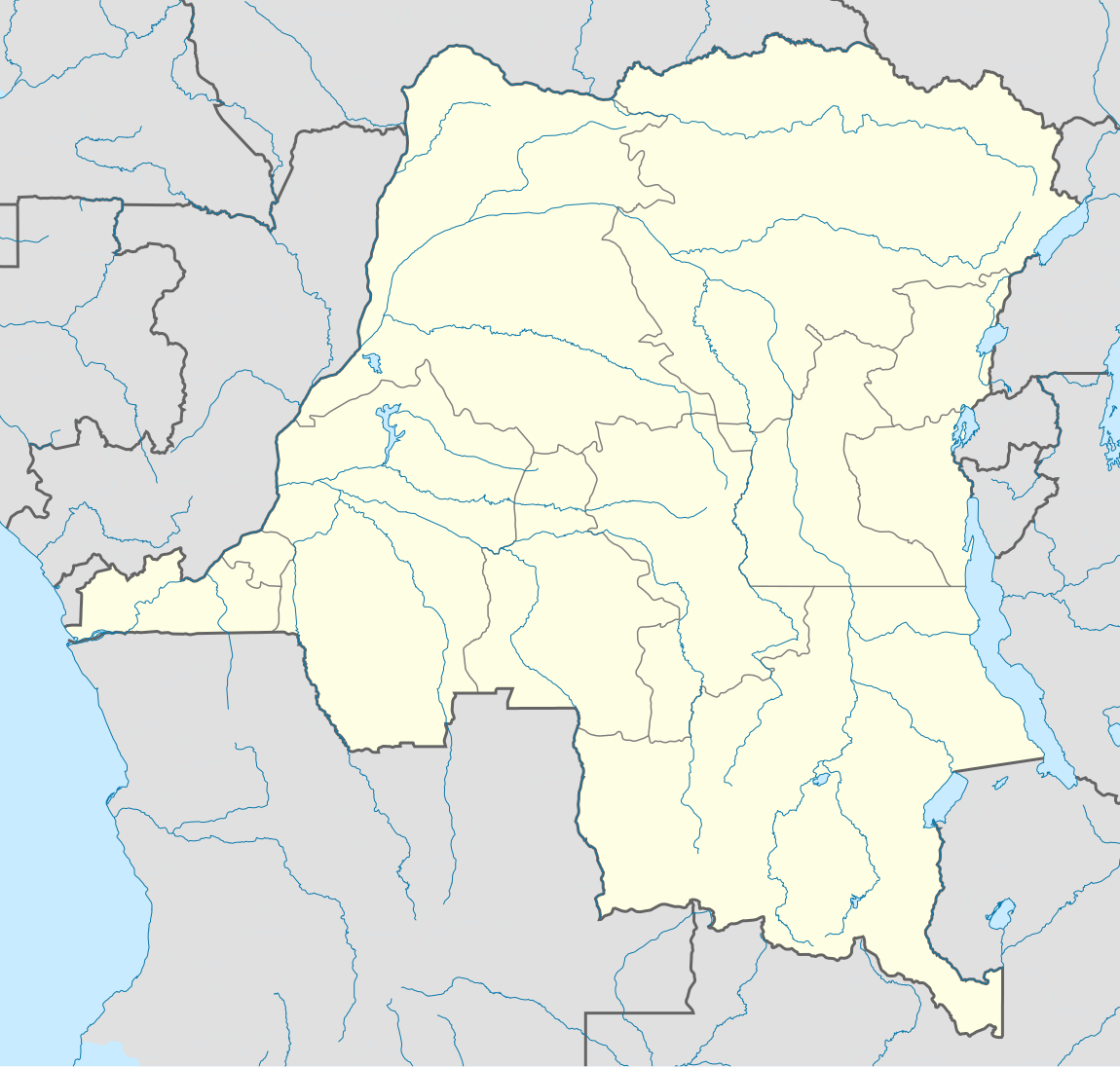
Deutsch: Location map of Democratic Republic of the Congo
Equirectangular projection. Strechted by 100.0%. Geographic limits of the map:
Made with Natural Earth. Free vector and raster map data @ naturalearthdata.com. A new map with the 26 provinces (since 2015) is available here. |
| Date | |
| Source | Own work |
| Author | Uwe Dedering |
Licensing
edit
This file is licensed under the Creative Commons Attribution-Share Alike 3.0 Unported license.
- You are free:
- to share – to copy, distribute and transmit the work
- to remix – to adapt the work
- Under the following conditions:
- attribution – You must give appropriate credit, provide a link to the license, and indicate if changes were made. You may do so in any reasonable manner, but not in any way that suggests the licensor endorses you or your use.
- share alike – If you remix, transform, or build upon the material, you must distribute your contributions under the same or compatible license as the original.
This file is licensed under the Creative Commons Attribution-Share Alike 3.0 Germany license.
- You are free:
- to share – to copy, distribute and transmit the work
- to remix – to adapt the work
- Under the following conditions:
- attribution – You must give appropriate credit, provide a link to the license, and indicate if changes were made. You may do so in any reasonable manner, but not in any way that suggests the licensor endorses you or your use.
- share alike – If you remix, transform, or build upon the material, you must distribute your contributions under the same or compatible license as the original.

Uwe Dedering at German Wikipedia, the copyright holder of this work, hereby publishes it under the following licenses:

|
Permission is granted to copy, distribute and/or modify this document under the terms of the GNU Free Documentation License, Version 1.2 or any later version published by the Free Software Foundation; with no Invariant Sections, no Front-Cover Texts, and no Back-Cover Texts. A copy of the license is included in the section entitled GNU Free Documentation License. |
This file is licensed under the Creative Commons Attribution 3.0 Unported license.
Attribution: Uwe Dedering at German Wikipedia
- You are free:
- to share – to copy, distribute and transmit the work
- to remix – to adapt the work
- Under the following conditions:
- attribution – You must give appropriate credit, provide a link to the license, and indicate if changes were made. You may do so in any reasonable manner, but not in any way that suggests the licensor endorses you or your use.
You may select the license of your choice.
Original upload log
edit
Transferred from de.wikipedia to Commons by Uwe Dedering.
The original description page was here. All following user names refer to de.wikipedia.
- 2010-02-16 11:09 Uwe Dedering 1150×1095× (1164773 bytes) {{Information |Beschreibung = Location map of Democratic Republic of the Congo Equirectangular projection. Strechted by 100.0%. Geographic limits of the map: * N: 6.0° N * S: -14.0° N * W: 11.0° E * E: 32.0° E Made with Natural Earth. Free vector and raster map data @ naturalearthdata.com. |Quelle = own work |Urheber = [[Benutzer:Uwe Dedering|Uwe Dedering]] |Datum = 20100216 |Genehmigung = |Andere Versionen = |Anmerkungen = }}
File history
Click on a date/time to view the file as it appeared at that time.
| Date/Time | Thumbnail | Dimensions | User | Comment | |
|---|---|---|---|---|---|
| current | 21:54, 16 February 2010 | | 1,150 × 1,095 (1.11 MB) | Uwe Dedering (talk | contribs) | {{Information |Description={{de|Location map of Democratic Republic of the Congo Equirectangular projection. Strechted by 100.0%. Geographic limits of the map: * N: 6.0° N * S: -14.0° N * W: 11.0° E * E: 32.0° E Made with Natural Earth. Free vector an |
You cannot overwrite this file.
File usage on Commons
The following 11 pages use this file:
- File:Bandundu in Democratic Republic of the Congo.svg
- File:Bas-Congo in Democratic Republic of the Congo.svg
- File:Kasai-Occidental in Democratic Republic of the Congo.svg
- File:Kasai-Oriental in Democratic Republic of the Congo.svg
- File:Katanga in Democratic Republic of the Congo.svg
- File:Kinshasa in Democratic Republic of the Congo.svg
- File:Maniema in Democratic Republic of the Congo.svg
- File:Nord-Kivu in Democratic Republic of the Congo.svg
- File:Orientale in Democratic Republic of the Congo.svg
- File:Sud-Kivu in Democratic Republic of the Congo.svg
- File:Équateur in Democratic Republic of the Congo.svg
File usage on other wikis
The following other wikis use this file:
- Usage on af.wikipedia.org
- Usage on als.wikipedia.org
- Usage on am.wikipedia.org
- Usage on ar.wikipedia.org
- Usage on az.wikipedia.org
- Usage on ba.wikipedia.org
- Usage on be-tarask.wikipedia.org
- Usage on be.wikipedia.org
- Usage on bg.wikipedia.org
- Usage on bn.wikipedia.org
- Usage on bs.wikipedia.org
- Usage on ceb.wikipedia.org
View more global usage of this file.