File:Map Tsuruga en.png
Size of this preview: 800 × 544 pixels. Other resolutions: 320 × 218 pixels | 640 × 435 pixels | 1,024 × 696 pixels | 1,181 × 803 pixels.
Original file (1,181 × 803 pixels, file size: 47 KB, MIME type: image/png)
Captions
Captions
Add a one-line explanation of what this file represents
Summary
edit
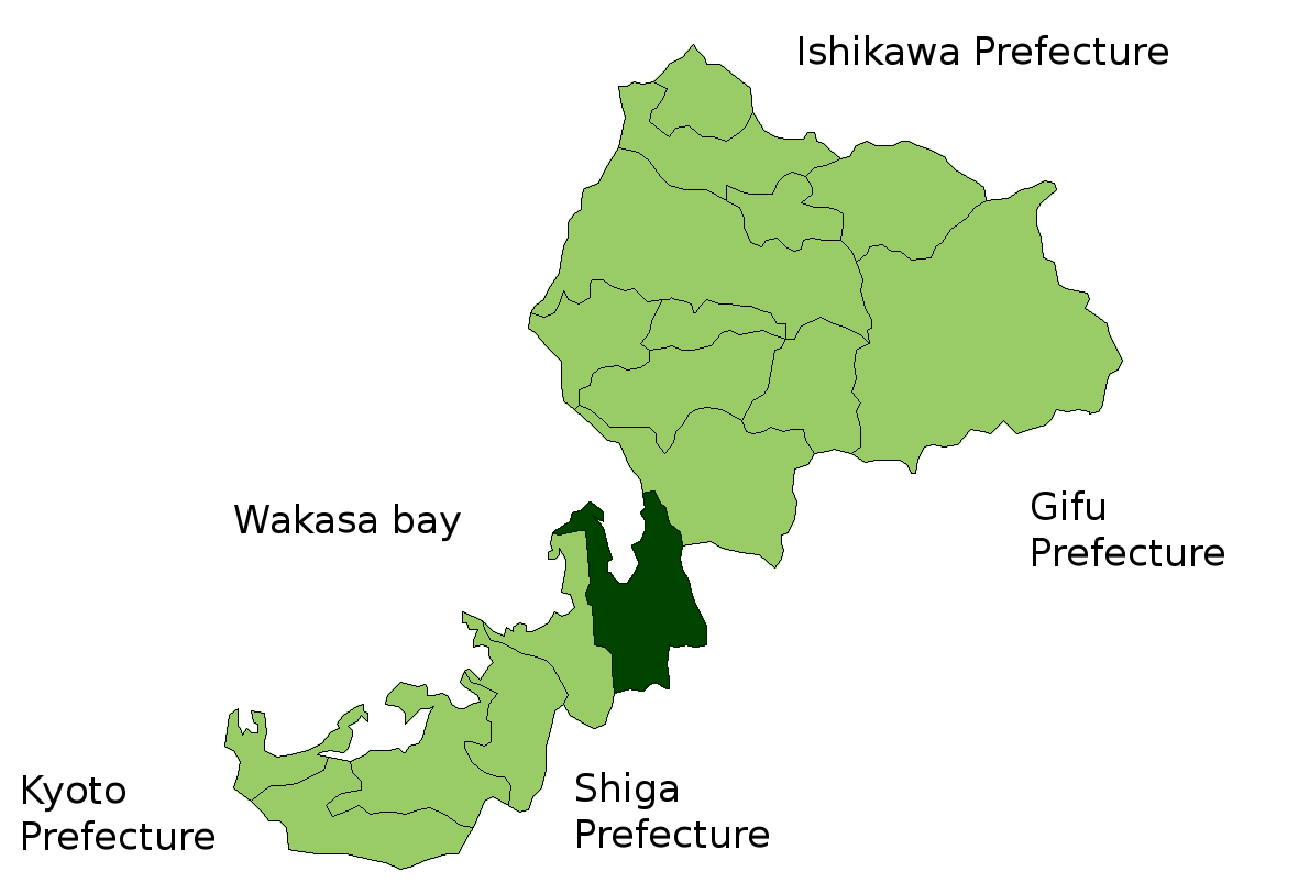
Map of Fukui Prefecture highlighting Tsuruga city. Borders of map as of November, 2006. (blank map used from [1])
See also Image:FukuiMapCurrent.png
Licensing
edit

|
Shigenobu AOKI, the copyright holder of this work, allows anyone to use it for any purpose including unrestricted redistribution, commercial use, and modification. |
File history
Click on a date/time to view the file as it appeared at that time.
| Date/Time | Thumbnail | Dimensions | User | Comment | |
|---|---|---|---|---|---|
| current | 13:40, 23 November 2006 | | 1,181 × 803 (47 KB) | Reggaeman (talk | contribs) | Map of Fukui Prefecture highlighting Tsuruga city. Borders of map as of November, 2006. (blank map used from [http://aoki2.si.gunma-u.ac.jp/map/map.html]) See also Image:FukuiMapCurrent.png [[C |
| 13:39, 23 November 2006 |  | 1,181 × 803 (47 KB) | Reggaeman (talk | contribs) | Map of Fukui Prefecture highlighting Tsuruga city. Borders of map as of November, 2006. (blank map used from [http://aoki2.si.gunma-u.ac.jp/map/map.html]) See also Image:FukuiMapCurrent.png [[C |
You cannot overwrite this file.
File usage on Commons
There are no pages that use this file.
File usage on other wikis
The following other wikis use this file:
- Usage on fa.wikipedia.org
- Usage on vi.wikipedia.org
- Usage on zh-classical.wikipedia.org