File:Karibik Barbados Position.png
Original file (1,024 × 636 pixels, file size: 15 KB, MIME type: image/png)
Captions
Captions
Summary
edit| Description |
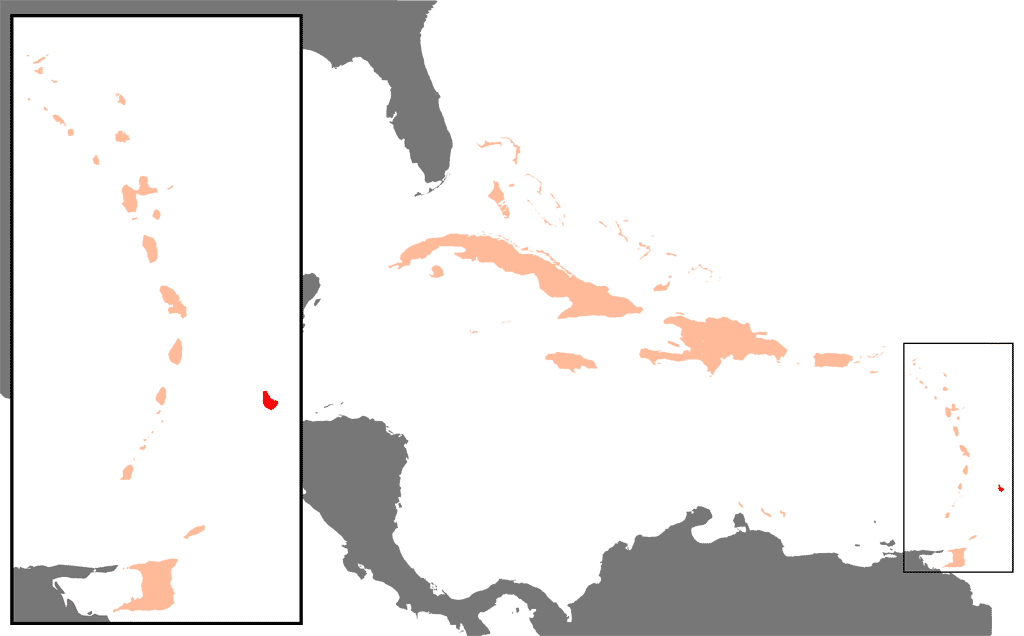
Deutsch: Lage der Insel Barbados in der Karibik |
| Date | |
| Source | first upload in de wikipedia on 27. Feb. 2004, 18:41:57 by Raymond |
| Author | Raymond - Raimond Spekking |
| Other versions |
|
| Attribution (required by the license) | © Raimond Spekking / |


.png)


|
This map has been uploaded by Electionworld from de.wikipedia.org to enable the |

|
This locator map image could be re-created using vector graphics as an SVG file. This has several advantages; see Commons:Media for cleanup for more information. If an SVG form of this image is available, please upload it and afterwards replace this template with
{{vector version available|new image name}}.
It is recommended to name the SVG file “Karibik Barbados Position.svg”—then the template Vector version available (or Vva) does not need the new image name parameter. |
Licensing
edit
I have published this image as author under the Creative-Commons-Licence CC-by-SA-3.0.. This means that free online usage outside of Wikimedia projects under the following terms of licence is possible:
- The image is credited with "© Raimond Spekking / CC BY-SA 3.0 (via Wikimedia Commons)"
For all other kind of usages (books, journales, flyers, etc.) click on the following button. You will get all information needed.
I would be happy to receive a specimen copy or the URL of the website where the image is used.
Please write an email to raimond.spekking@gmail.com (GPG encrypted emails are welcome: Key-ID: 0xB12BE7A6), if you
- need the image in a higher resolution
- need my postal address for sending a specimen copy
- have further questions to the terms of licence
| This file is licensed under the Creative Commons Attribution-Share Alike 3.0 Unported license. | ||
| ||
| This licensing tag was added to this file as part of the GFDL licensing update. |

|
Permission is granted to copy, distribute and/or modify this document under the terms of the GNU Free Documentation License, Version 1.2 or any later version published by the Free Software Foundation; with no Invariant Sections, no Front-Cover Texts, and no Back-Cover Texts. A copy of the license is included in the section entitled GNU Free Documentation License. |
File history
Click on a date/time to view the file as it appeared at that time.
| Date/Time | Thumbnail | Dimensions | User | Comment | |
|---|---|---|---|---|---|
| current | 22:06, 15 January 2007 | | 1,024 × 636 (15 KB) | Electionworld (talk | contribs) | {{ew|de|Raymond}} {{Bild-GFDL}} *Beschreibung: **Die Lage der Insel Barbados in der Karibik *Quelle: **selbst gezeichnet, abgeleitet aus der Zeichnung Bild:Karte Karibik Inseln.png *Zeichner: **Raimond Spekking (Raymond) [[Categorie:Maps of B |
You cannot overwrite this file.
File usage on Commons
The following 14 pages use this file:
- Atlas of Barbados
- Barbados
- Maps of the Caribbean
- User:Raymond/Maps
- File:Karibik Amerikanische Jungferninseln Position.png
- File:Karibik Anguilla Position.png
- File:Karibik Barbados Position.png
- File:Karibik Kaimaninseln Position.png
- File:Karibik Kuba Position.png
- File:Karibik Montserrat Position.png
- File:Karibik St Vincent und die Grenadinen Position.png
- File:Karte Karibik Inseln.png
- File:Karte Karibik Jungferninseln.png
- File:Virgin Islands map Hebrew.PNG
File usage on other wikis
The following other wikis use this file:
- Usage on als.wikipedia.org
- Usage on eo.wikipedia.org
- Usage on pl.wikipedia.org