File:Matabele2.gif
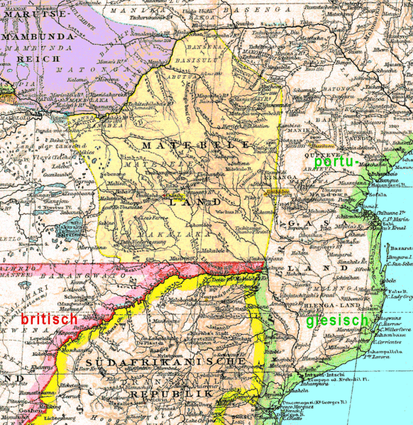
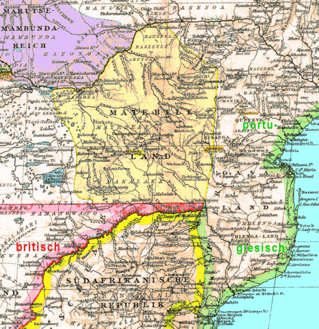
Size of this preview: 582 × 599 pixels. Other resolutions: 233 × 240 pixels | 466 × 480 pixels | 746 × 768 pixels | 1,226 × 1,262 pixels.
Original file (1,226 × 1,262 pixels, file size: 439 KB, MIME type: image/gif)
Captions
Captions
Add a one-line explanation of what this file represents
Summary
edit
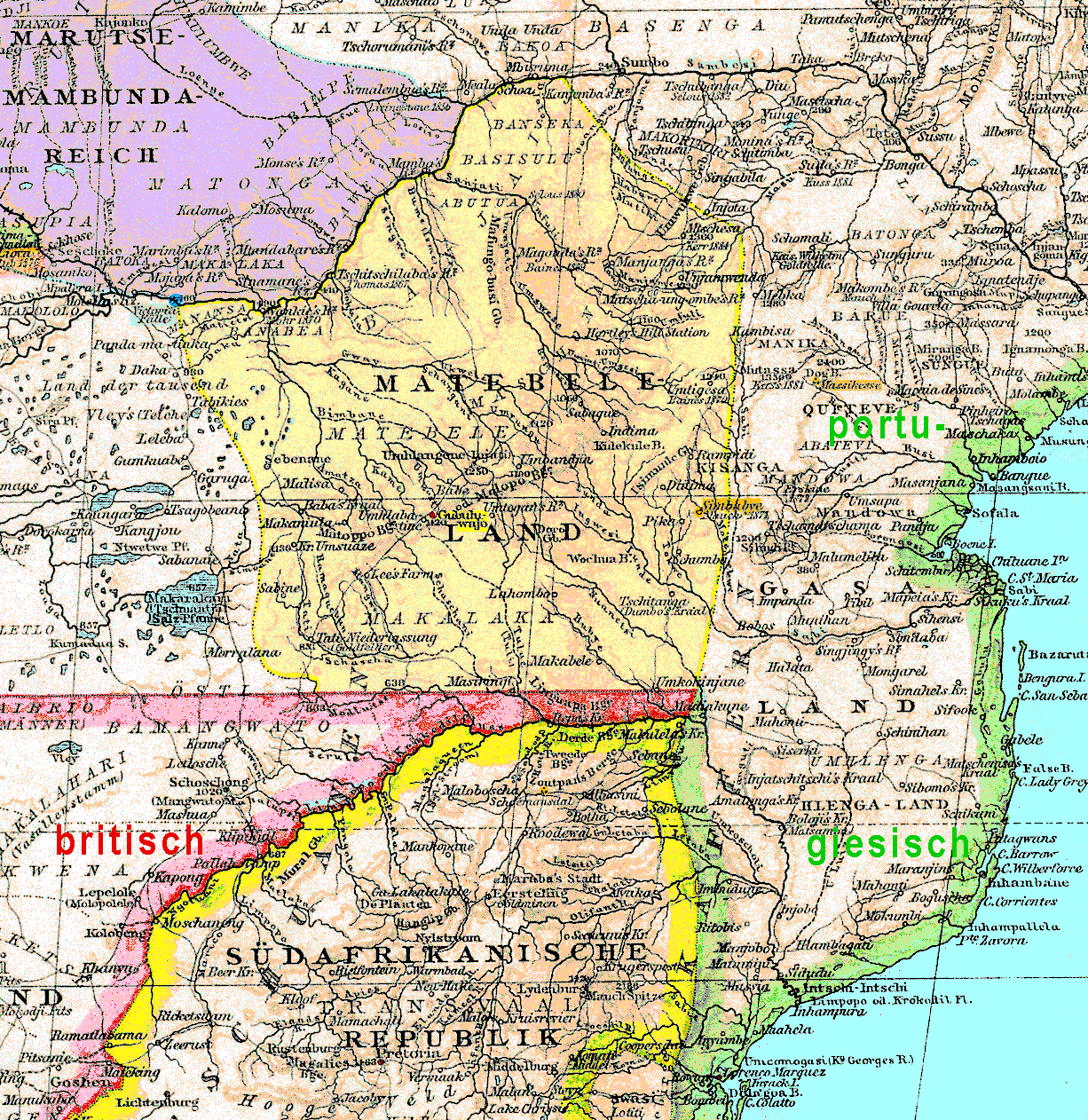
| Description | Matabele Kingdom in 1887. The scanned map was recoloured a bit without changing any original line. |
| Date | 1st upload 2007-01-11 |
| Source | Andrées Weltatlas 1880, supplement form 1887 |
| Author | --Ulamm 14:17, 23 July 2007 (UTC) |
| Permission (Reusing this file) |
from Cornelsen-Verlage, descender of the original publisher Velhagen & Klasing (Bielefeld, Germany) |
Description from the 1st upload (de.wiki):* Das Matabelereich im heutigen Zimbabwe in einer Atlaskarte von 1887, dem Jahr vor der Kolonialisierung durch Cecil Rhodes.
- Die breiten Farbbänder an den Grenzen europäischer Besitzungen und Staaten sind original. Die Grenzen der beiden schwarzafrikanischen Staaten sind im Original mit schmalen Farbbändern hervorgehoben.
- Eigene Bearbeitung ist die Flächenfärbung der schwarzafrikanischen Staaten, die rote Hervorhebung von Hauptstädten, die orangenefarbene von Ruinenstätten und die blaue von Gewässernamen.
- Wie die an mehreren Stellen in Klammern gedruckten Quellenangaben verraten, beruhen große Teile der Karte nicht auf einer Landesaufnahme im heutigen Sinne, sondern auf einzelnen Reiseberichten. Die Karte ist also viel ungenauer, als die feine Schlängelung der Flüsse nahelegt. Besonders auffällig: Great Zimbabwe ("Simbabye") ist nicht als Ruinenstätte eingetragen sondern als bewohnter Ort, auf korrekter geografischer Breite, aber 100 km zu weit östlich.
Licensing
edit
I, Ulamm, the copyright holder of this work, hereby publishes it under the following licenses:

|
Permission is granted to copy, distribute and/or modify this document under the terms of the GNU Free Documentation License, Version 1.2 or any later version published by the Free Software Foundation; with no Invariant Sections, no Front-Cover Texts, and no Back-Cover Texts. A copy of the license is included in the section entitled GNU Free Documentation License. |
| This file is licensed under the Creative Commons Attribution-Share Alike 3.0 Unported license. | ||
| Attribution: I, Ulamm | ||
| ||
| This licensing tag was added to this file as part of the GFDL licensing update. |
This file is licensed under the Creative Commons Attribution-Share Alike 2.5 Generic license.
Attribution: I, Ulamm
- You are free:
- to share – to copy, distribute and transmit the work
- to remix – to adapt the work
- Under the following conditions:
- attribution – You must give appropriate credit, provide a link to the license, and indicate if changes were made. You may do so in any reasonable manner, but not in any way that suggests the licensor endorses you or your use.
- share alike – If you remix, transform, or build upon the material, you must distribute your contributions under the same or compatible license as the original.
You may select the license of your choice.
File history
Click on a date/time to view the file as it appeared at that time.
| Date/Time | Thumbnail | Dimensions | User | Comment | |
|---|---|---|---|---|---|
| current | 14:16, 23 July 2007 | | 1,226 × 1,262 (439 KB) | Ulamm (talk | contribs) | {{Information |Description= Matabele Kingdom in 1887. The scanned map was recoloured a bit without changing any original line. |Source= Andrées Weltatlas 1880, supplement form 1887 |Date= 1st upload 2007-01-11 |Author= |Permission= from [http://www.corne |
You cannot overwrite this file.
File usage on Commons
There are no pages that use this file.
File usage on other wikis
The following other wikis use this file:
- Usage on als.wikipedia.org
- Usage on de.wikipedia.org