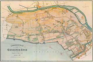
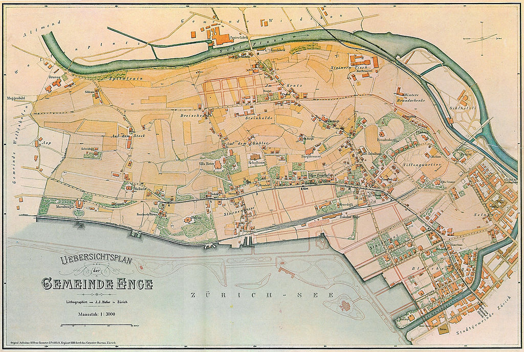
File:Plan-Gmde-Enge-1878-80.jpg

Original file (1,924 × 1,293 pixels, file size: 2.84 MB, MIME type: image/jpeg)
Captions
Captions
Summary
edit
| Description |
Deutsch: Plan der Gemeinde Enge 1878/1880 |
||||
| Date | 1878/1880 | ||||
| Source |
Deutsch: Scan aus Paul Guyer Die Geschichte der Enge (ursprünglich: Baugeschichtliches Archiv der Stadt Zürich)
English: Map of Enge (Zurich, Switzerland) 1878/1880 |
||||
| Author | Geometer J. Fröhlich, Cataster-Bureau Zürich | ||||
| Permission (Reusing this file) |
|
||||
File history
Click on a date/time to view the file as it appeared at that time.
| Date/Time | Thumbnail | Dimensions | User | Comment | |
|---|---|---|---|---|---|
| current | 22:56, 10 February 2007 | | 1,924 × 1,293 (2.84 MB) | Davidshilling (talk | contribs) | {{Information |Description=Plan der Gemeinde Enge 1878/1880 |Source=de: Scan aus Paul Guyer ''Die Geschichte der Enge'' (ursprünglich: Baugeschichtliches Archiv der Stadt Zürich)<br />en:Map of Enge (Zurich, Switzerland) 1878/1880 |Date=1878/1880 |Autho |
You cannot overwrite this file.
File usage on Commons
The following page uses this file:
File usage on other wikis
The following other wikis use this file:
- Usage on als.wikipedia.org
- Usage on de.wikipedia.org