File:Landkreise Württemberg-Hohenzollern.png
Size of this preview: 477 × 600 pixels. Other resolutions: 191 × 240 pixels | 382 × 480 pixels | 650 × 817 pixels.
Original file (650 × 817 pixels, file size: 39 KB, MIME type: image/png)
Captions
Captions
Add a one-line explanation of what this file represents
Summary
edit
| Description |
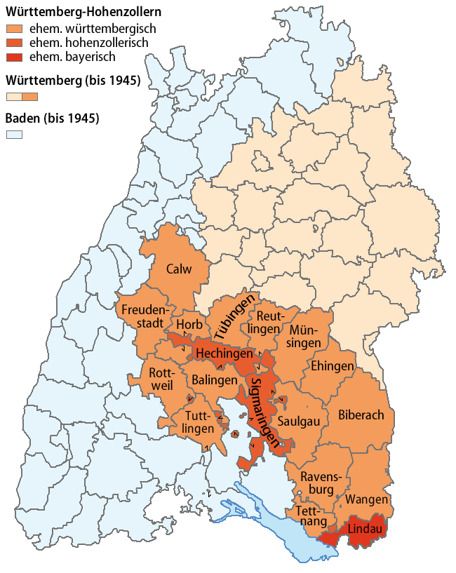
Deutsch: Karte der Landkreise von Württemberg-Hohenzollern
English: Map of the districts of Württemberg-Hohenzollern |
||
| Date | |||
| Source | own work, using BW-AlteLandkreise-Template.png by Ssch | ||
| Author | NordNordWest | ||
| Permission (Reusing this file) |
|

|
This map has been made or improved in the German Kartenwerkstatt (Map Lab). You can propose maps to improve as well.
|
File history
Click on a date/time to view the file as it appeared at that time.
| Date/Time | Thumbnail | Dimensions | User | Comment | |
|---|---|---|---|---|---|
| current | 20:38, 19 August 2008 | | 650 × 817 (39 KB) | NordNordWest (talk | contribs) | |
| 21:02, 18 August 2008 |  | 650 × 817 (22 KB) | NordNordWest (talk | contribs) | ||
| 20:58, 18 August 2008 |  | 650 × 817 (27 KB) | NordNordWest (talk | contribs) | {{Information| |Description = {{de|Karte der Landkreise von de:Württemberg-Hohenzollern}} {{en|Map of the districts of en:Württemberg-Hohenzollern}} |Source = own work, using [[:image:BW-AlteLandkreise-Template.png|BW-AlteLandkreise-Template.p |
You cannot overwrite this file.
File usage on Commons
The following page uses this file:
File usage on other wikis
The following other wikis use this file:
- Usage on als.wikipedia.org
- Usage on de.wikipedia.org