File:Crespian-Mairie-Ecole-202100408.jpg

Size of this preview: 800 × 532 pixels. Other resolutions: 320 × 213 pixels | 640 × 426 pixels | 1,024 × 681 pixels | 1,280 × 852 pixels | 2,560 × 1,704 pixels | 4,625 × 3,078 pixels.
Original file (4,625 × 3,078 pixels, file size: 13.79 MB, MIME type: image/jpeg)
Captions
Captions
Add a one-line explanation of what this file represents
Summary
edit
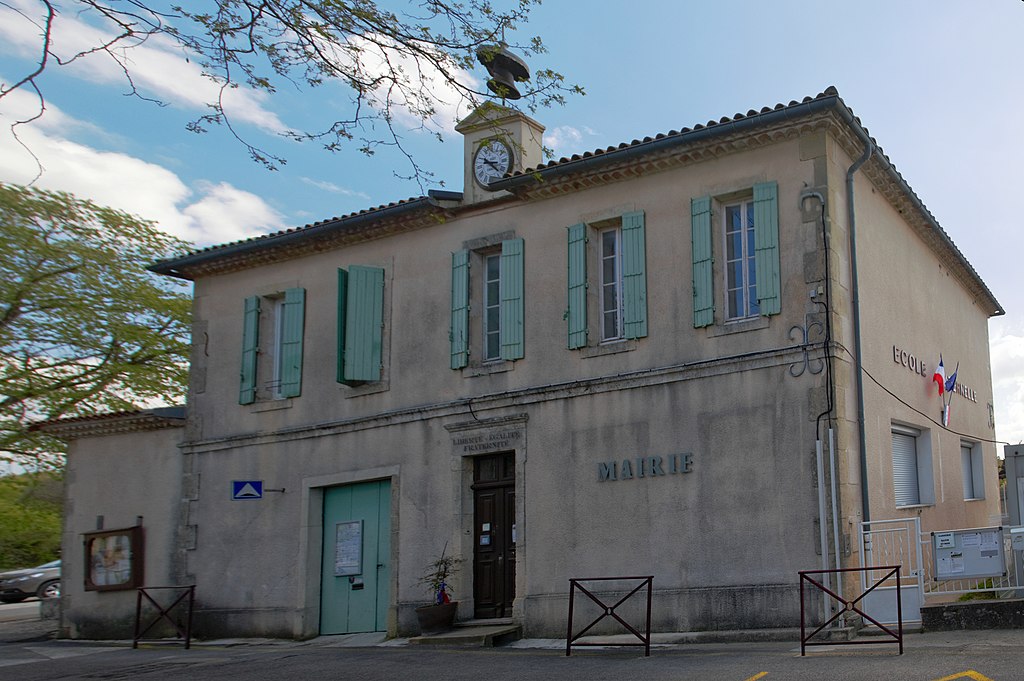
| Description | Town hall and nursery school |
| Date | Taken on 8 April 2021 |
| Source | Own work |
| Author | Daniel VILLAFRUELA |
| Camera location | | View this and other nearby images on: OpenStreetMap |
|---|
Licensing
edit
Daniel VILLAFRUELA, the copyright holder of this work, hereby publishes it under the following license:
This file is licensed under the Creative Commons Attribution-Share Alike 4.0 International license.
Attribution: Daniel VILLAFRUELA
- You are free:
- to share – to copy, distribute and transmit the work
- to remix – to adapt the work
- Under the following conditions:
- attribution – You must give appropriate credit, provide a link to the license, and indicate if changes were made. You may do so in any reasonable manner, but not in any way that suggests the licensor endorses you or your use.
- share alike – If you remix, transform, or build upon the material, you must distribute your contributions under the same or compatible license as the original.
File history
Click on a date/time to view the file as it appeared at that time.
| Date/Time | Thumbnail | Dimensions | User | Comment | |
|---|---|---|---|---|---|
| current | 16:14, 9 April 2021 | | 4,625 × 3,078 (13.79 MB) | Daniel VILLAFRUELA (talk | contribs) | <!-- Add your traduction at the multilingual descriptor {{LangSwitch}} used in this page --> {{Information |Description= {{LangSwitch |en = {{w|Crespian|Town hall and nursery school|en}} |es = {{w|Crespian|Ayuntamiento y jardín de infancia|es}} |fr = {{w|Crespian|Mairie et école maternelle|fr}} }} |Source = {{Own}} |Author = Daniel VILLAFRUELA |Date = {{Taken on|2021-04-08| location= France }} }} <!-- Mairie --> {{Location|43.88178518|4.097832963|head... |
You cannot overwrite this file.
File usage on Commons
The following 4 pages use this file:
File usage on other wikis
The following other wikis use this file:
- Usage on ca.wikipedia.org
- Usage on ceb.wikipedia.org
- Usage on ce.wikipedia.org
- Usage on de.wikipedia.org
- Usage on el.wikipedia.org
- Usage on eo.wikipedia.org
- Usage on es.wikipedia.org
- Usage on eu.wikipedia.org
- Usage on fr.wikipedia.org
- Usage on hu.wikipedia.org
- Usage on it.wikipedia.org
- Usage on ku.wikipedia.org
- Usage on lmo.wikipedia.org
- Usage on mg.wikipedia.org
- Usage on ms.wikipedia.org
- Usage on nl.wikipedia.org
- Usage on pl.wikipedia.org
- Usage on pt.wikipedia.org
- Usage on ro.wikipedia.org
- Usage on sk.wikipedia.org
- Usage on sr.wikipedia.org
- Usage on sv.wikipedia.org
- Usage on uk.wikipedia.org
- Usage on uz.wikipedia.org
- Usage on vec.wikipedia.org
- Usage on www.wikidata.org
- Usage on zh-yue.wikipedia.org
- Usage on zh.wikipedia.org