File:Водоспад "Шипіт".jpeg
Size of this preview: 445 × 599 pixels. Other resolutions: 178 × 240 pixels | 356 × 480 pixels | 570 × 768 pixels | 760 × 1,024 pixels | 1,520 × 2,048 pixels | 3,088 × 4,160 pixels.
Original file (3,088 × 4,160 pixels, file size: 4.12 MB, MIME type: image/jpeg)
Captions
Captions
Add a one-line explanation of what this file represents
| I, the copyright holder of this work, release this work into the public domain. This applies worldwide. In some countries this may not be legally possible; if so: I grant anyone the right to use this work for any purpose, without any conditions, unless such conditions are required by law. |
| Camera location | | View this and other nearby images on: OpenStreetMap |
|---|
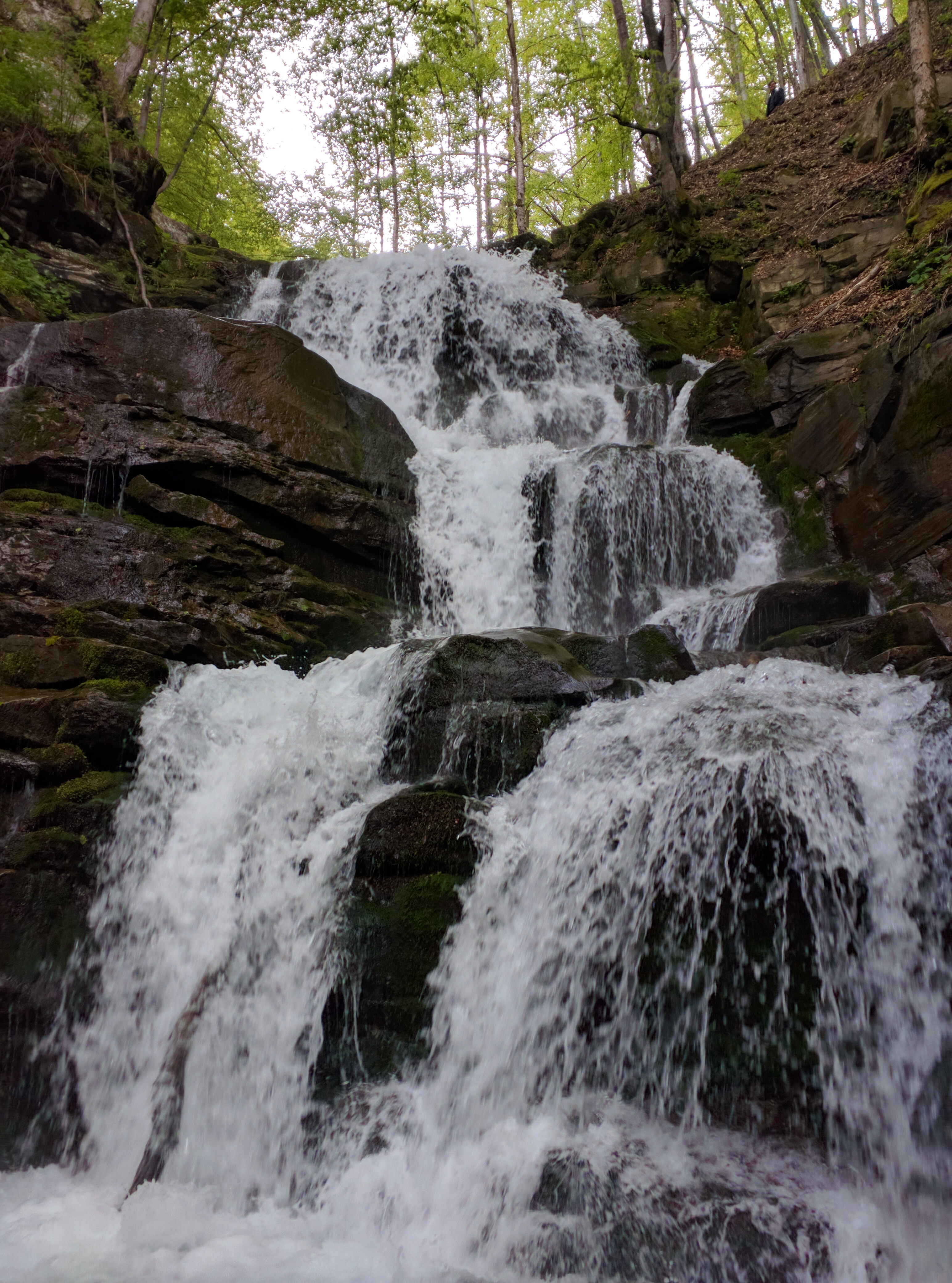
Фото карпатського водоспаду Шипіт
File history
Click on a date/time to view the file as it appeared at that time.
| Date/Time | Thumbnail | Dimensions | User | Comment | |
|---|---|---|---|---|---|
| current | 08:45, 12 May 2016 | | 3,088 × 4,160 (4.12 MB) | Narkulome (talk | contribs) | Фото карпатського водоспаду Шипіт |
You cannot overwrite this file.
File usage on Commons
There are no pages that use this file.
File usage on other wikis
The following other wikis use this file:
- Usage on uk.wikipedia.org