File:WP Dithmarschen.jpg
Size of this preview: 800 × 564 pixels. Other resolutions: 320 × 225 pixels | 640 × 451 pixels | 1,024 × 721 pixels | 1,276 × 899 pixels.
Original file (1,276 × 899 pixels, file size: 808 KB, MIME type: image/jpeg)
Captions
Captions
Add a one-line explanation of what this file represents
Summary
edit| Description |
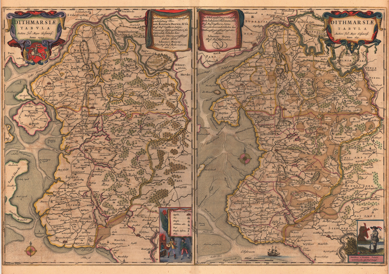
English: Maps of Dithmarschen in 1559 (left) and 1651 (right)
Deutsch: Karten Dithmarschens im Jahre 1559 (links) und 1651 (rechts) |
| Date | |
| Source | http://www.altelandkarten.de/stock/alte%20landkarte/23922/Dithmarsiae%20Tabvla%20Auctore%20Joh%20Meyer%20Husumensi%20Anno%201559%20Dithmarsiae%20Tabvla%20Auctore%20Joh%20Meyer%20Husumensi%20Anno%201651/Blaeu.shtml |
| Author | Johannes Mejer (* 1606; † 1674) |
| Other versions |
|

.jpg)

Licensing
edit
|
This work is in the public domain in its country of origin and other countries and areas where the copyright term is the author's life plus 100 years or fewer. | |
| This file has been identified as being free of known restrictions under copyright law, including all related and neighboring rights. | |
File history
Click on a date/time to view the file as it appeared at that time.
| Date/Time | Thumbnail | Dimensions | User | Comment | |
|---|---|---|---|---|---|
| current | 01:57, 22 December 2011 | | 1,276 × 899 (808 KB) | Der Bischof mit der E-Gitarre (talk | contribs) | {{Information |Description ={{en|1=Maps of Dithmarschen in 1559 (left) and 1651 (right)}} {{de|1=Karten Dithmarschens im Jahre 1559 (links) und 1651 (rechts)}} |Source =http://www.altelandkarten.de/stock/alte%20landkarte/23922/Dithmarsiae%20Tab |
You cannot overwrite this file.
File usage on Commons
The following 3 pages use this file:
File usage on other wikis
The following other wikis use this file:
- Usage on uk.wikipedia.org