File:Caste Solomon islands.jpg
No higher resolution available.
Caste_Solomon_islands.jpg (690 × 600 pixels, file size: 176 KB, MIME type: image/jpeg)
Captions
Captions
Add a one-line explanation of what this file represents
Summary
edit
| Description |
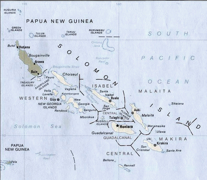
English: Map of Solomon Islands.
According to the University of Texas, "most of the maps scanned by the University of Texas Libraries and served from this web site are in the public domain. No permissions are needed to copy them. You may download them and use them as you wish. A few maps are copyrighted, and are clearly marked as such.". As the image, when downloaded from here was no tagged, the map is PD. Insofar the battle annotation make this necessary, I put this image in the public domain as well. |
| Date | |
| Source | Modified version of Solomon Islands (Political) 1989 from Perry-Castañeda Library Map Collection: Solomon Islands Maps. |
| Author | U.S. Central Intelligence Agency |
| Permission (Reusing this file) |
Public domain |
| Other versions | File:New georgia pol89.jpg |
Licensing
edit
| This image is a work of a Central Intelligence Agency employee, taken or made as part of that person's official duties. As a Work of the United States Government, this image or media is in the public domain in the United States.
|

|
File history
Click on a date/time to view the file as it appeared at that time.
| Date/Time | Thumbnail | Dimensions | User | Comment | |
|---|---|---|---|---|---|
| current | 17:18, 26 July 2006 | | 690 × 600 (176 KB) | Bradipus (talk | contribs) | |
| 20:23, 11 August 2005 |  | 690 × 600 (68 KB) | Bradipus (talk | contribs) | Solomon Islands. Maps from http://www.lib.utexas.edu/maps/ Public Domain (see http://navalhistory.flixco.info/H/118421x19817/8330/a0.htm) {{PD}} |
You cannot overwrite this file.
File usage on Commons
The following page uses this file:
File usage on other wikis
The following other wikis use this file:
- Usage on ast.wikipedia.org
- Usage on cs.wikipedia.org
- Usage on de.wiktionary.org
- Usage on en.wikipedia.org
- Usage on es.wikipedia.org
- Usage on fr.wikipedia.org
- Usage on ru.wikipedia.org
- Usage on tr.wiktionary.org
- Usage on uk.wikipedia.org