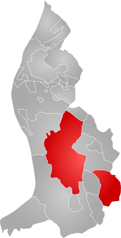
File:Liechtenstein-Triesenberg.svg

Size of this PNG preview of this SVG file: 305 × 599 pixels. Other resolutions: 122 × 240 pixels | 244 × 480 pixels | 391 × 768 pixels | 521 × 1,024 pixels | 1,043 × 2,048 pixels | 735 × 1,443 pixels.
Original file (SVG file, nominally 735 × 1,443 pixels, file size: 74 KB)
Captions
Captions
Add a one-line explanation of what this file represents
This W3C-unspecified vector image was created with Inkscape .
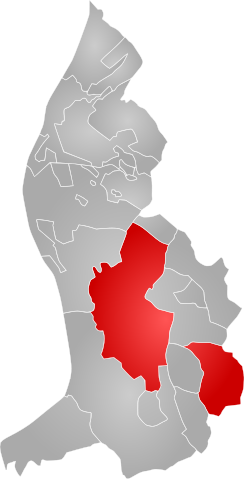
| Description | Map showing the location of Triesenberg within Liechtenstein. | ||
| Date | |||
| Source | Own work | ||
| Author | Jon Harald Søby | ||
| Permission (Reusing this file) |
|
File history
Click on a date/time to view the file as it appeared at that time.
| Date/Time | Thumbnail | Dimensions | User | Comment | |
|---|---|---|---|---|---|
| current | 21:56, 18 June 2007 | | 735 × 1,443 (74 KB) | Jon Harald Søby (talk | contribs) | {{Inkscape}} {{Information |Description=Map showing the location of en:Triesenberg within Liechtenstein. |Source=Self-made |Date=18 June 2007 |Author=User:Jon Harald Søby |Permission={{PD-self}} }} Category:Maps of Liechtenstein |
You cannot overwrite this file.
File usage on Commons
There are no pages that use this file.
File usage on other wikis
The following other wikis use this file:
- Usage on cs.wikipedia.org
- Usage on da.wikipedia.org
- Usage on de.wikipedia.org
- Usage on fa.wikipedia.org
- Usage on he.wikipedia.org
- Usage on id.wikipedia.org
- Usage on ko.wikipedia.org
- Usage on mk.wikipedia.org
- Usage on pl.wikipedia.org
- Usage on pnb.wikipedia.org
- Usage on ps.wikipedia.org
- Usage on ru.wikipedia.org
- Usage on smn.wikipedia.org
- Usage on sr.wikipedia.org
- Usage on uk.wikipedia.org
- Usage on ur.wikipedia.org