File:Gullfoss-localisation.png
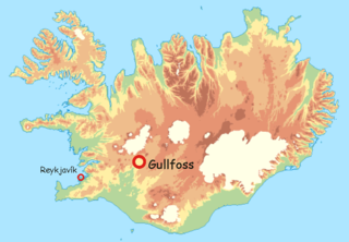
Size of this preview: 800 × 555 pixels. Other resolutions: 320 × 222 pixels | 640 × 444 pixels | 1,068 × 741 pixels.
Original file (1,068 × 741 pixels, file size: 67 KB, MIME type: image/png)
Captions
Captions
Add a one-line explanation of what this file represents
Summary
edit
| Description |
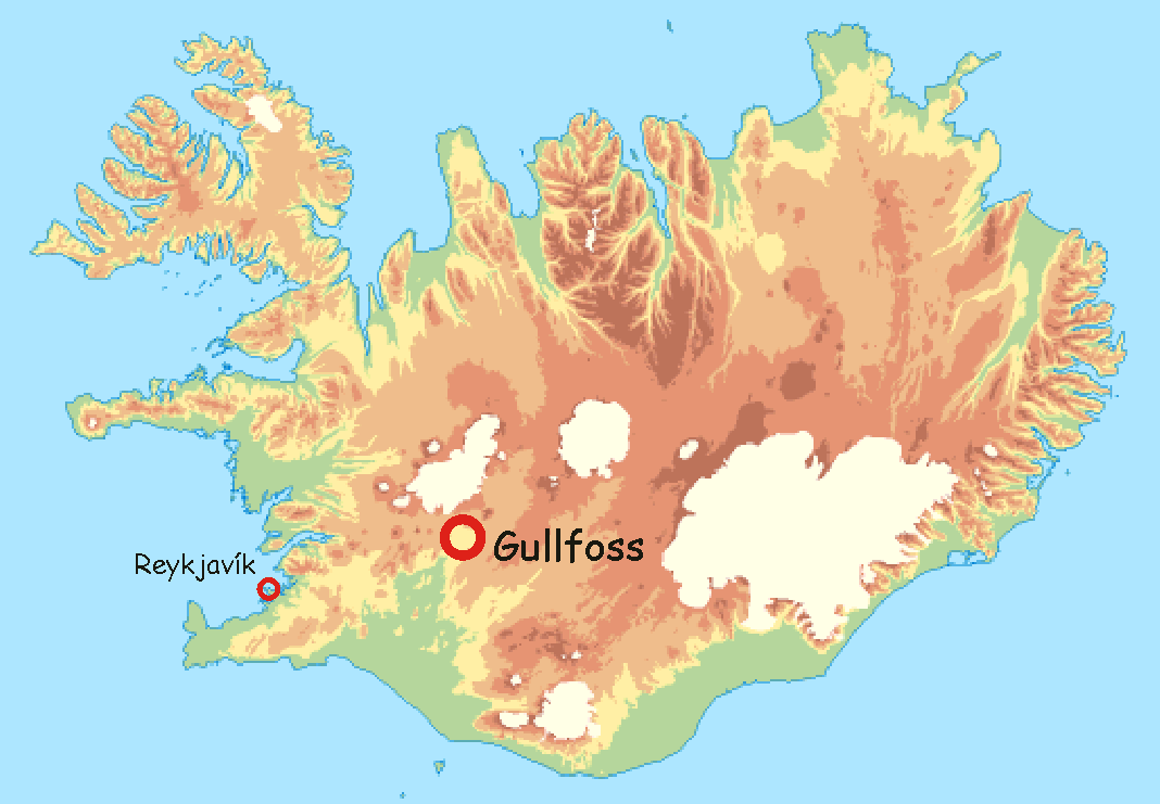
Français : Localisation de Gullfoss |
| Date | 5 April 2006 (original upload date) |
| Source | fr:Utilisateur:Laurent Deschodt, sur un fond de carte provenant du "National Land Survey of Iceland" [1] distribué avec la mention suivante : "The following maps may be used at your discretion and do not require special permission from the National Land Survey of Iceland." ; |
| Author | The original uploader was Laurent Deschodt at French Wikipedia. |
Licensing
edit

|
Permission is granted to copy, distribute and/or modify this document under the terms of the GNU Free Documentation License, Version 1.2 or any later version published by the Free Software Foundation; with no Invariant Sections, no Front-Cover Texts, and no Back-Cover Texts. A copy of the license is included in the section entitled GNU Free Documentation License. |
| This file is licensed under the Creative Commons Attribution-Share Alike 3.0 Unported license. | ||
| ||
| This licensing tag was added to this file as part of the GFDL licensing update. |
Original upload log
edit
The original description page was here. All following user names refer to fr.wikipedia.
- 2006-04-05 16:08 Laurent Deschodt 1068×741×7 (89636 bytes) == Description == auteur : [[Utilisateur:Laurent Deschodt]], sur un fond de carte provenant du "National Land Survey of Iceland" [http://www.lmi.is/landsurvey.nsf/pages/vefkort.html] distribué avec la mention suivante : "The following maps may be u
File history
Click on a date/time to view the file as it appeared at that time.
| Date/Time | Thumbnail | Dimensions | User | Comment | |
|---|---|---|---|---|---|
| current | 21:45, 8 February 2008 | | 1,068 × 741 (67 KB) | Bayo (talk | contribs) | {{Information |Description={{fr|carte physique de l'Islande}} |Source=PCL collection; Transferred from [http://fr.wikipedia.org fr.wikipedia] |Date=2004-06-06 (first version); 2004-06-06 (last version) |Author=Original uploader was [[:fr:User:Nataraja|Nat |
| 21:38, 8 February 2008 |  | 1,068 × 741 (67 KB) | Bayo (talk | contribs) | {{Information |Description={{fr|Localisation de Gullfoss}} |Source=fr:Utilisateur:Laurent Deschodt, sur un fond de carte provenant du "National Land Survey of Iceland" [http://www.lmi.is/landsurvey.nsf/pages/vefkort.html] distribué avec la mention s |
You cannot overwrite this file.
File usage on Commons
The following 5 pages use this file:
File usage on other wikis
The following other wikis use this file:
- Usage on ar.wikipedia.org
- Usage on arz.wikipedia.org
- Usage on ast.wikipedia.org
- Usage on ca.wikipedia.org
- Usage on cy.wikipedia.org
- Usage on eu.wikipedia.org
- Usage on mzn.wikipedia.org
- Usage on sv.wikipedia.org
- Usage on tg.wikipedia.org
- Usage on uk.wikipedia.org
- Usage on www.wikidata.org