Gaborone
| Gaborone | |||
|---|---|---|---|
| |||
| Grünjdooten | |||
| Stoot | Botswana | ||
|
Steed oner aanj ferwalting |
Gaborone | ||
| Hööchde | 983 m | ||
| Grate | 196 km² | ||
| Iinwenern | 231.592 (2011) | ||
| Iinwenern per km² | 1.181,6 Iinw./km² | ||
| Grünjlaanj | 1964 | ||
| ISO 3166-2 | BW-GA | ||
| Weebsteed | http://www.gov.bw/en/ministries--authorities/local-authorities/gaborone-city-council/ (en) | ||
| Politiik | |||
| Bürgermääster | Kagiso Thutlwe (2014) | ||
 Satelitenbilj faan Gaborone | |||
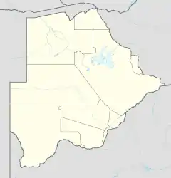
Gaborone (ap tu 1969 Gaberones) as at hoodsteed an gratst steed faan Botsuana. Det leit bi a struum Notwane, uun a süüduast faan at lun. Det hee 231.592 lidj (2011)[1].
Histoore
At steed wurd 1890 troch at boowerhood faan a Batlokwa, Kgosi Gaborone grünjlaanjen.
Sastersteeden
- Burbank, Kalifornien,
 Ferianagt Stooten
 - Zhejiang,
 Sjiina
 - Västerås,
 Sweeden
 - Sorong,
 Indoneesien
Kwelen
This article is issued from Wikipedia. The text is licensed under Creative Commons - Attribution - Sharealike. Additional terms may apply for the media files.