| Porecatu | |||
|---|---|---|---|
 | |||
| municipo de Brazilo | |||
| Administrado | |||
| Demografio | |||
| Loĝantaro | 11 624 (2022) [+] | ||
| Loĝdenso | 40 loĝ./km² | ||
| Geografio | |||
| Geografia situo | 22° 45′ S, 51° 23′ U (mapo)-22.755833333333-51.378888888889Koordinatoj: 22° 45′ S, 51° 23′ U (mapo) [+] | ||
| Alto | 437 m [+] | ||
| Areo | 291,665 km² (2 916 6.5 ha) [+] | ||
 | |||
| |||
|
| |||
| Alia projekto | |||


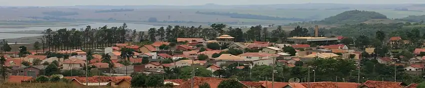
Porecatu estas municipo de la brazila subŝtato Paranao, kiu taksis 14.183 loĝantojn en 2010 [1].
Subŝtate
Referencoj
- ↑ IBGE (2010). Censo 2010 (HTML). Alirita 25 de aŭgusto 2011.
Vidu ankaŭ
Eksteraj ligiloj
La urbo
Koordinatoj: 22° 45′ 21″ S 51° 22′ 44″ U / 22.755833 °S, 51.378889 °U (mapo)
This article is issued from Wikipedia. The text is licensed under Creative Commons - Attribution - Sharealike. Additional terms may apply for the media files.