| Paulo Bento | ||
| municipo | ||
 | ||
|
||
| Oficiala nomo: Paulo Bento | ||
| Lando | ||
|---|---|---|
| Subŝtato | ||
| Mezoregiono | Nordokcidento de Rio-Grando (Noroeste Rio-grandense) | |
| Mikroregiono | Erechim | |
| Situo | urba centro | |
| - koordinatoj | 27° 42′ 10″ S 52° 25′ 15″ U / 27.70278 °S, 52.42083 °U (mapo) | |
| Areo | 148,364 km² (14 836,4 ha) | |
| Loĝantaro | 2 144 (2022) | |
| Denseco | 14,45 loĝ./km² | |
| Horzono | UTC-3 | |
| Poŝtkodo | 99718-000 | |
 | ||
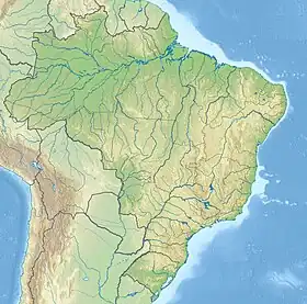 Situo ene de Brazilo Situo ene de Brazilo
| ||
| Retpaĝo: http://www.paulobento.rs.gov.br | ||
Paulo Bento estas municipo en la brazila subŝtato Suda Rio-Grando, kiu havis 2.196 loĝantojn en 2010 [1].
Vidu ankaŭ
Referencoj
- ↑ IBGE. Paulo Bento (HTML). Censo 2010. Alirita 2013-05-01.
This article is issued from Wikipedia. The text is licensed under Creative Commons - Attribution - Sharealike. Additional terms may apply for the media files.