| Itabela | |
| municipo | |
| Oficiala nomo: Itabela | |
| Lando | |
|---|---|
| Subŝtato | Bahio |
| Mezoregiono | Sul Baiano |
| Mikroregiono | Porto Seguro |
| Situo | urba centro |
| - koordinatoj | 16° 34′ 30″ S 39° 33′ 10″ U / 16.57500 °S, 39.55278 °U (mapo) |
| Areo | 850,663 km² (85 066,3 ha) |
| Loĝantaro | 28 390 (2010) |
| Denseco | 33,37 loĝ./km² |
| Horzono | UTC-3 |
 Situo ene de Bahio Situo ene de Bahio
| |
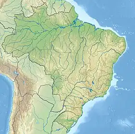 Situo ene de Brazilo Situo ene de Brazilo
| |
| Retpaĝo: http://www.itabela.ba.gov.br | |
Itabela estas municipo en la brazila subŝtato Bahio, kiu havis 28.390 loĝantojn en 2010 [1].
Vidu ankaŭ
Referencoj
This article is issued from Wikipedia. The text is licensed under Creative Commons - Attribution - Sharealike. Additional terms may apply for the media files.