| East Renfrewshire Siorrachd Rinn Friù an Ear |
|||||
|---|---|---|---|---|---|
| administra regiono | |||||
 | |||||
| konsilia areo en Skotlando [+] | |||||
| |||||
| Lando | Skotlando | ||||
| Koordinatoj | 56° N, 4° U (mapo)55.7984-4.2907Koordinatoj: 56° N, 4° U (mapo) | ||||
| Ĉefurbo | Giffnock | ||||
| - koordinatoj | 56° N, 4° U (mapo)55.7984-4.2907Koordinatoj: 56° N, 4° U (mapo) [+] | ||||
| Areo | 174,25 km² (17 425 ha) | ||||
| Loĝantaro | 95 530 [+] (2019) | ||||
| ISO 3166-2 | GB-ERW | ||||
|
|||||
|
|||||
|
|||||
 |
|||||
| East Renfrewshire Siorrachd Rinn Friù an Ear |
|||||
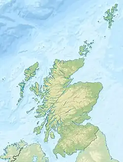
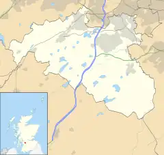
East Renfrewshire (skotgaele Siorrachd Rinn Friù an Ear) estas unu el la 32 unu-nivelaj administraj unuoj (unuaraj instancoj) en Skotlando. Ĝi havas areon de 174 km² kaj 89 600 loĝantojn. Per tio ĝi estas inter la plej malgrandaj distriktoj de Skotlando (28-a laŭ areo, 24-a laŭ loĝantaro).
East Renfrewshire situas inter North Ayrshire, East Ayrshire, Renfrewshire, South Lanarkshire kaj Glasgow.
Lokoj
- Barrhead
- Busby
- Clarkston
- Eaglesham
- Giffnock
- Neilston
- Netherlee
- Newton Mearns
- Stamperland
- Thornliebank
Eksteraj ligiloj
- www.eastrenfrewshire.gov.uk, administra retejo
This article is issued from Wikipedia. The text is licensed under Creative Commons - Attribution - Sharealike. Additional terms may apply for the media files.


