Geografio > Eŭropo > Britio > Anglio > Angla regiono > South East England > Bracknell Forest
| Bracknell Forest | |||||
|---|---|---|---|---|---|
| unuara instanco | |||||
| unitary authority area in England • borough in the United Kingdom • nemetropola distrikto de Anglio • rural district [+] | |||||
| |||||
| Lando | Anglio | ||||
| Koordinatoj | 51° N, 1° U (mapo)51.41-0.75Koordinatoj: 51° N, 1° U (mapo) | ||||
| - koordinatoj | 51° N, 1° U (mapo)51.41-0.75Koordinatoj: 51° N, 1° U (mapo) [+] | ||||
| Areo | 109,4 km² (10 940 ha) [+] | ||||
| Loĝantaro | 124 607 [+] (21-a de marto 2021) | ||||
| ISO 3166-2 | GB-BRC | ||||
|
|||||
 |
|||||
| Bracknell Forest | |||||
| En TTT: Oficiala retejo [+] | |||||
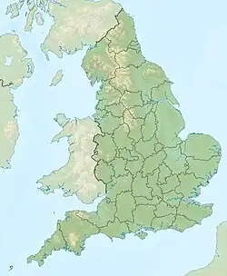
Bracknell Forest estas unuara instanco en la angla regiono South East England.
- Loĝantaro - 111 000 (1997)
- Areo - 109 km²
Setlejoj
Vidu ankaŭ

This article is issued from Wikipedia. The text is licensed under Creative Commons - Attribution - Sharealike. Additional terms may apply for the media files.