Santa Rita (Aragua)
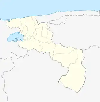
Santa Rita ist eine venezolanische Stadt im Bundesstaat Aragua, Verwaltungssitz des Municipios Francisco Linares Alcántara. Sie ist mittlerweile Teil des Ballungsraums von Maracay. Nördlich von Santa Rita befindet sich der Colorado-Fluss und die Autobahn Caracas-Valencia. Im Süden befindet sich der Turmero-Fluss.
| Santa Rita | ||||
|---|---|---|---|---|
| ||||
| Koordinaten | 10° 12′ 1″ N, 67° 33′ 5″ W | |||
| Basisdaten | ||||
| Staat | Venezuela | |||
| Bundesstaat | Aragua | |||
| Einwohner | 134.233 | |||
| – im Ballungsraum | ca. 1.300.000 | |||
| Stadtinsignien | ||||
 |
 | |||
| Detaildaten | ||||
| Fläche | 23,8 | |||
| Höhe | 428 m | |||
| Postleitzahl | 2101–2104 | |||
| Zeitzone | UTC-4:30 | |||
| Stadtvorsitz | Humberto Prieto | |||
 Stadtrat | ||||
This article is issued from Wikipedia. The text is licensed under Creative Commons - Attribution - Sharealike. Additional terms may apply for the media files.