Monte Atabae
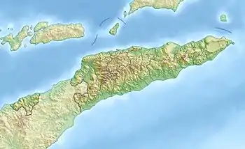
Der osttimoresische Berg Monte Atabae liegt an der Grenze zwischen den Sucos Rairobo und Atabae (Verwaltungsamt Atabae, Gemeinde Bobonaro), im Nordwesten des Landes. Er hat eine Höhe von 964 m. Damit ist er die höchste Erhebung im Verwaltungsamt Atabae.[1][2]
| Monte Atabae | ||
|---|---|---|
| Höhe | 964 m | |
| Lage | Verwaltungsamt Atabae, Gemeinde Bobonaro, Osttimor | |
| Koordinaten | 8° 47′ 22″ S, 125° 10′ 9″ O | |
| ||
Einzelnachweise
- Direcção-Geral de Estatística: Atlas der Gemeinde Bobonaro, abgerufen am 25. September 2022.
- Timor-Leste GIS-Portal (Memento vom 30. Juni 2007 im Internet Archive)
This article is issued from Wikipedia. The text is licensed under Creative Commons - Attribution - Sharealike. Additional terms may apply for the media files.