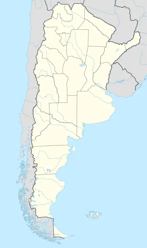
Matancillas de San Antonio
Matancillas de San Antonio (auch einfach Matancillas) ist ein kleines Dorf im Nordwesten Argentiniens. Es gehört zum Departamento Iruya in der Provinz Salta und liegt in 1520 m Höhe, am Fluss Iruya, etwa 40 km vom Dorf Iruya entfernt.[1]
| Basisdaten | |||
|---|---|---|---|
| Lage | 22° 50′ S, 64° 55′ W | ||
| Höhe ü. d. M.: | 1520 m | ||
| |||
| Verwaltung | |||
| Provinz: | |||
| Departamento: | Iruya | ||
| Gemeinde: | Iruya | ||
| Sonstiges | |||
| Postleitzahl: | A4633 | ||
Das Klima in Matancillas ist subtropisch.[2]
Das Dorf hat eine Schule mit etwa 55 Schülern, eine Krankenstation und eine Kapelle.[3]
Siehe auch
- Matancillas del Valle Delgado
Einzelnachweise
- http://www.portaldesalta.gov.ar/iruyacircuitos.htm
- Archivierte Kopie (Memento des vom 9. Dezember 2010 im Internet Archive) Info: Der Archivlink wurde automatisch eingesetzt und noch nicht geprüft. Bitte prüfe Original- und Archivlink gemäß Anleitung und entferne dann diesen Hinweis.
- http://www.lanacion.com.ar/nota.asp?nota_id=394389
This article is issued from Wikipedia. The text is licensed under Creative Commons - Attribution - Sharealike. Additional terms may apply for the media files.
