Kel-i-Schin
Kel-i-Schin (Kēl-a Šīn, Kelišin, kurdisch blauer Pfeiler) ist der Name eines Gebirgspasses im nördlichen Zāgros-Gebirge, der auf 2.981 Metern Höhe als Staatsgrenze des Iran und Irak zwischen den Orten Oschnaviyeh (Iran) und Rawanduz (Irak) verläuft. Als Namensgeber für den Gebirgspass fungierte die sogenannte Kel-i-Schin-Stele.
| Kel-i-Schin | |||
|---|---|---|---|
| Himmelsrichtung | Westen | Osten | |
| Passhöhe | 2981 m | ||
| Iran | Irak | ||
| Talorte | Kalishin | Dorud | |
| Gebirge | Zāgros-Gebirge | ||
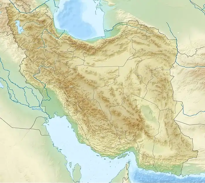
| Karte (Iran) | |||
| |||
| Koordinaten | 36° 54′ 47″ N, 44° 54′ 44″ O | ||
Literatur
- H. F. Russell: Shalmaneser's Campaign to Urartu in 856 B.C. and the Historical Geography of Eastern Anatolia according to the Assyrian Sources. In: Anatolian Studies 34 (1984), S. 171–201.
- M. Salvini: Kelišin. In: Dietz-Otto Edzard u. a.: Reallexikon der Assyriologie und vorderasiatischen Archäologie, Bd. 5. de Gruyter, Berlin 1980, ISBN 3-11-007192-4, S. 568–569.
This article is issued from Wikipedia. The text is licensed under Creative Commons - Attribution - Sharealike. Additional terms may apply for the media files.
