Guagua (Pampanga)
Guagua, Tagalog: Bayan ng Guagua, ist eine philippinische Stadtgemeinde in der Provinz Pampanga, in der Verwaltungsregion III, Central Luzon. Nach dem Zensus von 2015 hatte Guagua 117.430 Einwohner, die in 31 Barangays lebten. Sie wird als Gemeinde der ersten Einkommensklasse auf den Philippinen und als urbanisiert eingestuft.
| Municipality of Guagua | |||
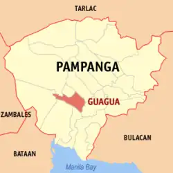
| Lage von Guagua in der Provinz Pampanga | |||
|---|---|---|---|
 | |||
| Basisdaten | |||
| Region: | Central Luzon | ||
| Provinz: | Pampanga | ||
| Barangays: | 31 | ||
| Distrikt: | 2. Distrikt von Pampanga | ||
| PSGC: | 035407000 | ||
| Einkommensklasse: | 1. Einkommensklasse | ||
| Einwohnerzahl: | 117.430 Zensus 1. August 2015 | ||
| Einwohnerdichte: | 2413 Einw. je km² | ||
| Fläche: | 48,67 km² | ||
| Koordinaten: | 14° 58′ N, 120° 38′ O | ||
| Postleitzahl: | 2003 | ||
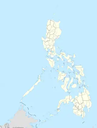
| Geographische Lage auf den Philippinen | |||
| |||
Guaguas Nachbargemeinden sind Santa Rita im Norden, Bacolor im Nordosten, Minalin im Südosten, Sasmuan im Süden, Lubao im Südwesten und Floridablanca im Westen, Porac im Nordwesten. Die Topographie der Stadt ist gekennzeichnet durch das Flachland der zentralen Luzon-Tiefebene.
Baranggays
|
|
|
Söhne und Töchter
- Pablo Virgilio Siongco David (* 1959), katholischer Geistlicher und Bischof von Kalookan
Weblinks
.jpg.webp) Die Kirche in Guagua gehört zum nationalen Kulturerbe der Philippinen
Die Kirche in Guagua gehört zum nationalen Kulturerbe der Philippinen
This article is issued from Wikipedia. The text is licensed under Creative Commons - Attribution - Sharealike. Additional terms may apply for the media files.
