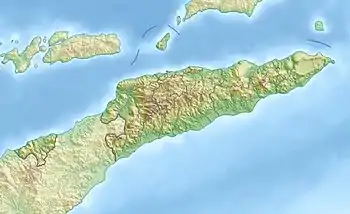
Foho Tutonairana
Der Foho Tutonairana ist ein Berg im Süden der zu Osttimor gehörenden Insel Atauro im Suco Macadade. Er hat eine Höhe von 845 m.
| Foho Tutonairana | ||
|---|---|---|
| Höhe | 845 m | |
| Lage | Atauro, Osttimor | |
| Koordinaten | 8° 16′ 23″ S, 125° 31′ 47″ O | |
| ||
| Typ | vulkanischen Ursprungs | |

Karte von Atauro mit dem Foho Tutonairana im Südwesten | ||
Neben dem Foho Berau ist der Foho Tutonairana eines der eruptiven Zentren, aus dem die Insel entstand.[1]
Einzelnachweise
- Kim S. Ely, Mike Sandiford, Margaret L. Hawke, David Phillips, Mark Quigley, Joao Edmundo dos Reis: Evolution of Ataúro Island: Temporal constraints on subduction processes beneath the Wetar zone, Banda Arc, Journal of Asian Earth Sciences 41 (2011), S. 477–493, abgerufen am 25. Oktober 2015.
This article is issued from Wikipedia. The text is licensed under Creative Commons - Attribution - Sharealike. Additional terms may apply for the media files.
