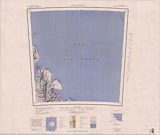
Driscoll Point
Der Driscoll Point ist eine Landspitze an der Shackleton-Küste in der antarktischen Ross Dependency. Er bildet die Ostseite des Eingangs zur Wise Bay.
| Driscoll Point | ||
 Driscoll Pt am unteren (südlichen) Kartenrand | ||
| Geographische Lage | ||
| ||
| Koordinaten | 82° 59′ S, 168° 0′ O | |
| Lage | Ross Dependency, Antarktika | |
| Küste | Shackleton-Küste | |
| Gewässer | Ross-Schelfeis | |
| Gewässer 2 | Ekblad-Gletscher, Wise Bay | |
Der United States Geological Survey kartierte ihn anhand eigener Tellurometervermessungen von 1961 bis 1962 sowie Luftaufnahmen der United States Navy aus dem Jahr 1960. Das Advisory Committee on Antarctic Names benannte ihn 1966 nach Charles Eugene Driscoll, Kapitän der USNS Private Joseph F. Merrell während der Operation Deep Freeze des Jahres 1963.
Weblinks
- Driscoll Point. In: Geographic Names Information System. United States Geological Survey, United States Department of the Interior, archiviert vom (englisch).
- Driscoll Point auf geographic.org (englisch)
This article is issued from Wikipedia. The text is licensed under Creative Commons - Attribution - Sharealike. Additional terms may apply for the media files.
