Destruction Bay (King George Island)
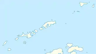
Die Destruction Bay (englisch für Zerstörungsbucht) ist eine 9 km breite Bucht auf der Ostseite von King George Island im Archipel der Südlichen Shetlandinseln. Sie liegt zwischen dem Taylor Point und Kap Melville.
| Destruction Bay | ||
|---|---|---|
| Gewässer | Bransfieldstraße | |
| Landmasse | King George Island, Südliche Shetlandinseln | |
| Geographische Lage | 61° 58′ 25″ S, 57° 39′ 15″ W | |
| ||
| Breite | 9 km | |
| Inseln | Trowbridge Island | |
| Zuflüsse | Moby-Dick-Eisfall | |
Der britische Kapitän Richard Sherratt benannte die Bucht, nachdem sein Schiff Lady Trowbridge hier am 25. Dezember 1820 havariert war.
Weblinks
- Destruction Bay. In: Geographic Names Information System. United States Geological Survey, United States Department of the Interior, archiviert vom (englisch).
- Destruction Bay auf geographic.org (englisch)
This article is issued from Wikipedia. The text is licensed under Creative Commons - Attribution - Sharealike. Additional terms may apply for the media files.
