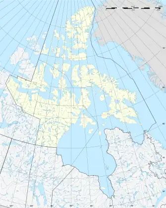
Comer Strait
Die Comer Strait ist eine schmale Wasserstraße, die die nordöstliche Spitze von Southampton Island von der westlichen Küste von White Island im Foxe Basin von Nunavut trennt. Sie ist auch der westliche Eingang zur Duke of York Bay.[1]
| Comer Strait | ||
|---|---|---|
| Verbindet Gewässer | Roes Welcome Sound | |
| mit Gewässer | Duke of York Bay | |
| Trennt Landmasse | Southampton Island | |
| von Landmasse | White Island | |
| Daten | ||
| Geographische Lage | 65° 45′ N, 85° 7′ W | |
| ||
| Länge | 17 km | |
| Geringste Breite | 1,4 km | |
Die Comer Strait wurde nach dem amerikanischen Walfänger George Comer benannt.[2]
Einzelnachweise
- Graham W. Rowley: Cold Comfort: My Love Affair with the Arctic. McGill-Queen's Press - MQUP, 1996, ISBN 978-0-7735-6591-3 (google.de [abgerufen am 5. November 2021]).
- George Comer: An Arctic whaling diary : the journal of captain George Comer in Hudson Bay, 1903-1905. Toronto : University of Toronto Press, 1984, ISBN 978-0-8020-5618-4 (archive.org [abgerufen am 5. November 2021]).
This article is issued from Wikipedia. The text is licensed under Creative Commons - Attribution - Sharealike. Additional terms may apply for the media files.
