Coalhurst
Coalhurst ist eine Stadt in der kanadischen Provinz Alberta.
| Coalhurst | |||
|---|---|---|---|
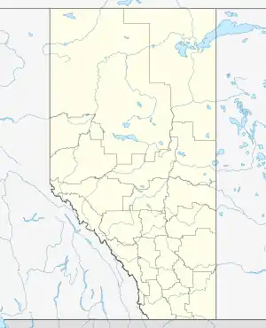
| Lage in Alberta | |||
| |||
| Staat: | |||
| Provinz: | Alberta | ||
| County: | Lethbridge County | ||
| Koordinaten: | 49° 45′ N, 112° 56′ W | ||
| Fläche: | 1,64 km² | ||
| Einwohner: | 2668 (Stand: 2016[1]) | ||
| Bevölkerungsdichte: | 1.626,8 Einw./km² | ||
| Zeitzone: | Mountain Time (UTC−7) | ||
| Postleitzahl: | T0L | ||
Der früher Bridgend genannte Ort liegt am Highway 3, rund 10 km von Lethbridge entfernt. Bis in die 1930er Jahre wurde hier in Stollen Kohle abgebaut. Eine Explosion mit 16 Toten beendete den Betrieb.
Coalhurst verfügt über eine Grundschule und eine Highschool, sowie einen Bahnhof.
Weblink
- Website der Stadt Coalhurst (englisch)
Einzelnachweise
This article is issued from Wikipedia. The text is licensed under Creative Commons - Attribution - Sharealike. Additional terms may apply for the media files.
