Bacacay
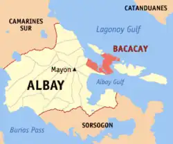
Bacacay ist eine philippinische Stadtgemeinde in der Provinz Albay. Sie hat 68.906 Einwohner (Zensus 1. August 2015). Die Gemeinde grenzt im Norden an den Golf von Lagonoy und im Süden an der Golf von Albay. Die Gemeinde verwaltet die Insel Cagraray Island, auf der 21 Barangays sich befinden.
| Municipality of Bacacay | |||
| Lage von Bacacay in der Provinz Albay | |||
|---|---|---|---|
 | |||
| Basisdaten | |||
| Region: | Bicol-Region | ||
| Provinz: | Albay | ||
| Barangays: | 56 | ||
| Distrikt: | 1. Distrikt von Albay | ||
| PSGC: | 050501000 | ||
| Einkommensklasse: | 2. Einkommensklasse | ||
| Haushalte: | 11.154 Zensus 1. Mai 2000 | ||
| Einwohnerzahl: | 68.906 Zensus 1. August 2015 | ||
| Koordinaten: | 13° 18′ N, 123° 48′ O | ||
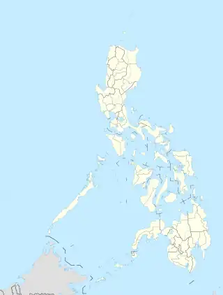
| Geographische Lage auf den Philippinen | |||
| |||
Baranggays
Bacacay ist politisch in 56 Baranggays unterteilt.
|
|
|
This article is issued from Wikipedia. The text is licensed under Creative Commons - Attribution - Sharealike. Additional terms may apply for the media files.
