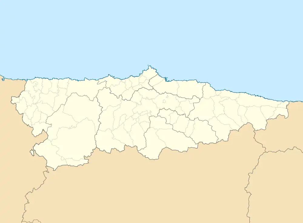
 | |
| Alministración | |
| País | |
| Autonomía | |
| Provincia | |
| Conceyu | |
| Partíu xudicial | Villaviciosa |
| Tipu d'entidá | parroquia d'Asturies |
| Xeografía | |
| Coordenaes | 43°29′05″N 5°16′05″W / 43.48461°N 5.26805°O |
 Colunga Colunga (Asturies) | |
| Altitú | 12 m[1] |
| Llenda con | San Xuan de la Duz, Sales, La Riera, Carrandi y Gobiendes |
| Demografía | |
| Población | 1001 hab. (2020) |
| Porcentaxe |
31.41% de Colunga 0.1% de provincia d'Asturies 0.1% de Principáu d'Asturies 0% de España |
| Más información | |
| Estaya horaria | UTC+01:00 |
Colunga[2] ye una parroquia del conceyu asturianu del mesmu nome. Tien una estensión de 3,22 km² y una población (INE, 2007) de 1.132 habitantes. Compriende la villa homónima, capital del conceyu, y les tierres que l'arrodien.
Sitios
Dientro la villa atópense dellos barrios diferenciaos:
- Cimavilla
- El Cuetín
- El Ferreru
- El Sorriberu
- El Sotu
- El Tocote
- Friera
- La Calzada
- Loreto
- Los Llanos
- Pumaralbín
- Zafra
Ver tamién
- Pa ver otros sitios col mesmu nome: Colunga (dixebra)
Referencies
- ↑ Afirmao en: Modelo Digital del Terreno de España de 5 metros. Editorial: Institutu Xeográficu Nacional d'España.
- ↑ «Espediente colos topónimos oficiales de Colunga». BOPA.
Enllaces esternos
This article is issued from Wikipedia. The text is licensed under Creative Commons - Attribution - Sharealike. Additional terms may apply for the media files.