 | |
| Alministración | |
| País | |
| Autonomía | |
| Provincia | |
| Conceyu | |
| Parroquia | Piñeres |
| Partíu xudicial | Ḷḷena |
| Tipu d'entidá | llugar |
| Nome oficial | Coḷḷanzo (ast)[1] |
| Códigu postal |
33680 |
| Xeografía | |
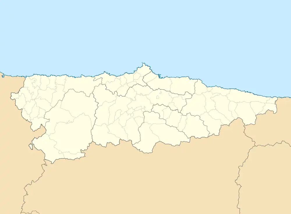
| Coordenaes | 43°07′27″N 5°33′51″W / 43.12419°N 5.56414°O |
 Coḷḷanzo Coḷḷanzo (Asturies) | |
| Altitú | 527 m |
| Demografía | |
| Población |
199 hab. (2019) - 100 homes (2019) - 99 muyeres (2019) |
| Porcentaxe |
32.73% de Piñeres 1.97% de Ayer 0.02% de provincia d'Asturies 0.02% de Principáu d'Asturies 0% de España |
| Viviendes | 156 (2001) |
| Más información | |
| Estaya horaria | UTC+01:00 |
Coḷḷanzo[2] ye un llugar de la parroquia de Santibanes de la Fuente, nel conceyu asturianu d'Ayer.
Referencies
- ↑ «Boletín Oficial del Principáu d'Asturies» (castellanu). Conseyu de Gobiernu del Principáu d'Asturies. Consultáu'l 20 setiembre 2022.
- ↑ «Espediente colos topónimos oficiales d'Ayer». BOPA.
Enllaces esternos
This article is issued from Wikipedia. The text is licensed under Creative Commons - Attribution - Sharealike. Additional terms may apply for the media files.