File:Map of Texas highlighting Austin County.svg

Size of this PNG preview of this SVG file: 631 × 600 pixels. Other resolutions: 253 × 240 pixels | 505 × 480 pixels | 808 × 768 pixels | 1,078 × 1,024 pixels | 2,155 × 2,048 pixels | 1,386 × 1,317 pixels.
Original file (SVG file, nominally 1,386 × 1,317 pixels, file size: 222 KB)
Captions
Captions
Add a one-line explanation of what this file represents
Summary
edit
| Description |
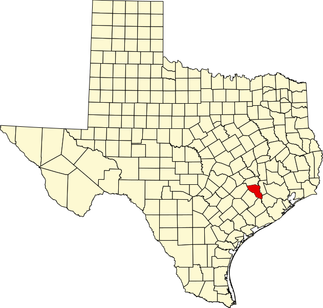
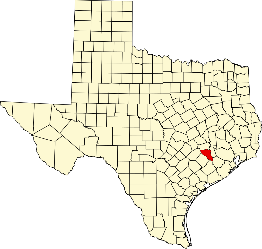
English: This is a locator map showing Austin County in Texas. For more information, see Commons:United States county locator maps. |
| Date | |
| Source |
Own work: English: The maps use data from nationalatlas.gov, specifically countyp020.tar.gz on the Raw Data Download page. The maps also use state outline data from statesp020.tar.gz. The Florida maps use hydrogm020.tar.gz to display Lake Okeechobee. |
| Author | David Benbennick |
Licensing
edit
| I, the copyright holder of this work, release this work into the public domain. This applies worldwide. In some countries this may not be legally possible; if so: I grant anyone the right to use this work for any purpose, without any conditions, unless such conditions are required by law. |
File history
Click on a date/time to view the file as it appeared at that time.
| Date/Time | Thumbnail | Dimensions | User | Comment | |
|---|---|---|---|---|---|
| current | 00:29, 5 July 2024 | | 1,386 × 1,317 (222 KB) | Nux (talk | contribs) | fix rendering (remove clipping), uniform colors |
| 16:38, 12 February 2006 |  | 12,473 × 11,855 (304 KB) | David Benbennick (talk | contribs) | {{subst:User:Dbenbenn/clm|county=Austin County|state=Texas|type=county}} |
You cannot overwrite this file.
File usage on Commons
The following 8 pages use this file:
- Category:Austin County, Texas
- Category:Births in Austin County, Texas
- Category:Geography of Austin County, Texas
- Category:Maps of Austin County, Texas
- Category:Populated places in Austin County, Texas
- Category:Protected areas of Austin County, Texas
- Category:Towns in Austin County, Texas
- Category:Transport in Austin County, Texas
File usage on other wikis
The following other wikis use this file:
- Usage on ar.wikipedia.org
- Usage on azb.wikipedia.org
- Usage on be.wikipedia.org
- Usage on bg.wikipedia.org
- Usage on bpy.wikipedia.org
- Usage on cdo.wikipedia.org
- Usage on ceb.wikipedia.org
- Usage on cs.wikipedia.org
- Usage on cy.wikipedia.org
- Usage on da.wikipedia.org
- Usage on de.wikipedia.org
- Usage on en.wikipedia.org
- List of counties in Texas
- Austin County, Texas
- Bellville, Texas
- Industry, Texas
- San Felipe, Texas
- Sealy, Texas
- Wallis, Texas
- New Ulm, Texas
- Brazos Country, Texas
- Stephen F. Austin State Park
- File talk:Map of Texas highlighting Austin County.svg
- Shelby, Texas
- Template:Austin County, Texas
- Category:Wikipedia requested photographs in Austin County, Texas
- User:Nyttend/County templates/TX/1
- Kenney, Texas
- Bleiblerville, Texas
- Cat Spring, Texas
- Template:AustinCountyTX-geo-stub
- Church of the Guardian Angel
- National Register of Historic Places listings in Austin County, Texas
- Wesley Brethren Church
- Old Masonic Hall (Bellville, Texas)
- Category:Populated places in Austin County, Texas
- San Felipe de Austin State Historic Site
- User:Patapsco913/sandbox
View more global usage of this file.