File:AmbitleTopography.png
Size of this preview: 792 × 599 pixels. Other resolutions: 317 × 240 pixels | 635 × 480 pixels | 1,015 × 768 pixels | 1,052 × 796 pixels.
Original file (1,052 × 796 pixels, file size: 65 KB, MIME type: image/png)
Captions
Captions
Add a one-line explanation of what this file represents
Summary
edit
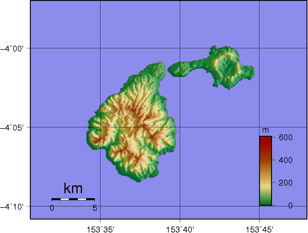
| Description | Topographic map Ambitle (left) and Babase (right) |
| Date | |
| Source | Created with GMT from publicly available SRTM data |
| Author | Sadalmelik |
Licensing
edit
| I, the copyright holder of this work, release this work into the public domain. This applies worldwide. In some countries this may not be legally possible; if so: I grant anyone the right to use this work for any purpose, without any conditions, unless such conditions are required by law. |
File history
Click on a date/time to view the file as it appeared at that time.
| Date/Time | Thumbnail | Dimensions | User | Comment | |
|---|---|---|---|---|---|
| current | 19:46, 1 June 2007 | | 1,052 × 796 (65 KB) | Sadalmelik (talk | contribs) | {{Information |Description=Topographic map Ambitle (left) and Babase (right) |Source=Created with GMT from publicly available SRTM data |Date=1st June, 2007 |Author= User:Sadalmelik }} |
| 19:21, 1 June 2007 |  | 1,052 × 992 (66 KB) | Sadalmelik (talk | contribs) | {{Information |Description=Topographic map Ambitle (left) and Babase (right) |Source=Created with GMT from publicly available SRTM data |Date=1st June, 2007 |Author= User:Sadalmelik }} |
You cannot overwrite this file.
File usage on Commons
The following page uses this file:
File usage on other wikis
The following other wikis use this file:
- Usage on als.wikipedia.org
- Usage on bn.wikipedia.org
- Usage on de.wikipedia.org
- Usage on el.wikipedia.org
- Usage on en.wikipedia.org
- Usage on es.wikipedia.org
- Usage on eu.wikipedia.org
- Usage on fr.wikipedia.org
- Usage on it.wikipedia.org
- Usage on ka.wikipedia.org
- Usage on pnb.wikipedia.org
- Usage on pt.wikipedia.org
- Usage on ru.wikipedia.org
- Usage on tr.wikipedia.org
- Usage on www.wikidata.org
- Usage on zh.wikipedia.org