File:Belgium East Flanders location map.svg

Size of this PNG preview of this SVG file: 468 × 442 pixels. Other resolutions: 254 × 240 pixels | 508 × 480 pixels | 813 × 768 pixels | 1,084 × 1,024 pixels | 2,168 × 2,048 pixels.
Original file (SVG file, nominally 468 × 442 pixels, file size: 105 KB)
Captions
Captions
Add a one-line explanation of what this file represents
Summary
edit
| Description |
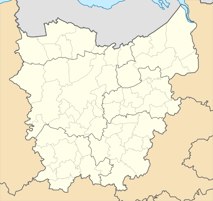
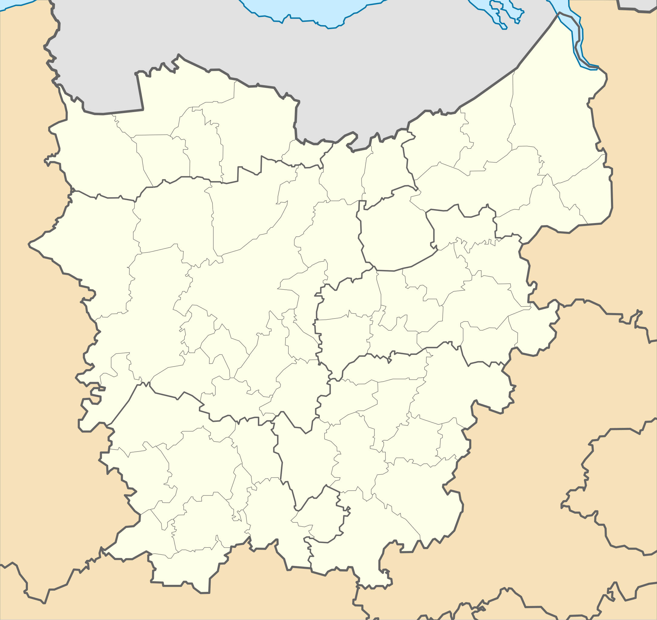
Español: Mapa de localización de la provincia de Flandes Oriental, Bélgica English: Location map of East Flanders province, Belgium
Equirectangular projection. Geographic limits of the map:
|
| Date | |
| Source | Own work |
| Author | Milenioscuro |
Licensing
edit
I, the copyright holder of this work, hereby publish it under the following license:
This file is licensed under the Creative Commons Attribution-Share Alike 3.0 Unported license.
- You are free:
- to share – to copy, distribute and transmit the work
- to remix – to adapt the work
- Under the following conditions:
- attribution – You must give appropriate credit, provide a link to the license, and indicate if changes were made. You may do so in any reasonable manner, but not in any way that suggests the licensor endorses you or your use.
- share alike – If you remix, transform, or build upon the material, you must distribute your contributions under the same or compatible license as the original.
File history
Click on a date/time to view the file as it appeared at that time.
| Date/Time | Thumbnail | Dimensions | User | Comment | |
|---|---|---|---|---|---|
| current | 17:58, 6 January 2019 | | 468 × 442 (105 KB) | Wester (talk | contribs) | Gemeentefusies 01/01/2019 |
| 12:58, 12 November 2012 |  | 468 × 442 (109 KB) | Milenioscuro (talk | contribs) | User created page with UploadWizard |
You cannot overwrite this file.
File usage on Commons
There are no pages that use this file.
File usage on other wikis
The following other wikis use this file:
- Usage on als.wikipedia.org
- Usage on bg.wikipedia.org
- Гент
- Алст
- Меле (Белгия)
- Дендермонде
- Бракел
- Гентски университет
- Ледеберг
- Хаме
- Герардсберген
- Дендерлеу
- Ерпе-Мере
- Зотегем
- Леде
- Нинове
- Синт Лийвенс Хаутем
- Халтерт
- Херзеле
- Ауденарде
- Вортегем-Петегем
- Зингем
- Звалм
- Клойсберген
- Кройсхаутем
- Лийрде
- Маркедал
- Ронсе
- Хоребеке
- Алтер
- Варсхот
- Вахтебеке
- Гавере
- Дайнзе
- Де Пинте
- Дестелберген
- Евергем
- Зомергем
- Зьолте
- Кнеселаре
- Ловендегем
- Лохристи
- Мерелбеке
- Мурбеке
- Назарет (Белгия)
- Невеле
View more global usage of this file.