File:Russia edcp relief location map.jpg

Size of this preview: 800 × 431 pixels. Other resolutions: 320 × 173 pixels | 640 × 345 pixels | 1,024 × 552 pixels | 1,280 × 690 pixels | 2,362 × 1,274 pixels.
Original file (2,362 × 1,274 pixels, file size: 2.3 MB, MIME type: image/jpeg)
Captions
Captions
former Soviet Union
Summary
edit| Description |
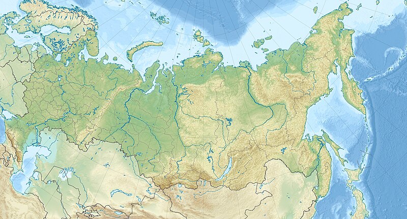
English: Location map of Russia.
EquiDistantConicProjection : Central parallel : * N: 54.0° N Central meridian : * E: 100.0° E Standard parallels: * 1: 49.0° N * 2: 59.0° NMade with Natural Earth. Free vector and raster map data @ naturalearthdata.com. |
| Date | |
| Source | Own work |
| Author | Uwe Dedering |
| Other versions |
|

Licensing
edit
I, the copyright holder of this work, hereby publish it under the following licenses:
This file is licensed under the Creative Commons Attribution-Share Alike 3.0 Unported license.
- You are free:
- to share – to copy, distribute and transmit the work
- to remix – to adapt the work
- Under the following conditions:
- attribution – You must give appropriate credit, provide a link to the license, and indicate if changes were made. You may do so in any reasonable manner, but not in any way that suggests the licensor endorses you or your use.
- share alike – If you remix, transform, or build upon the material, you must distribute your contributions under the same or compatible license as the original.

|
Permission is granted to copy, distribute and/or modify this document under the terms of the GNU Free Documentation License, Version 1.2 or any later version published by the Free Software Foundation; with no Invariant Sections, no Front-Cover Texts, and no Back-Cover Texts. A copy of the license is included in the section entitled GNU Free Documentation License. |
You may select the license of your choice.
File history
Click on a date/time to view the file as it appeared at that time.
| Date/Time | Thumbnail | Dimensions | User | Comment | |
|---|---|---|---|---|---|
| current | 11:38, 16 July 2010 | | 2,362 × 1,274 (2.3 MB) | Uwe Dedering (talk | contribs) | borders, see talk page of Russia_edcp_location_map.svg |
| 10:42, 13 March 2010 |  | 2,362 × 1,274 (2.3 MB) | Uwe Dedering (talk | contribs) | {{Information |Description={{en|1=Location map of Russia. EquiDistantConicProjection : Central parallel : * N: 54.0° N Central meridian : * E: 100.0° E Standard parallels: * 1: 49.0° N * 2: 59.0° N Made with Natural Earth. Free vector and raster |
You cannot overwrite this file.
File usage on Commons
The following 3 pages use this file:
File usage on other wikis
The following other wikis use this file:
- Usage on als.wikipedia.org
- Usage on ar.wikipedia.org
- Usage on ar.wikiversity.org
- Usage on ast.wikipedia.org
- Usage on azb.wikipedia.org
- Usage on be.wikipedia.org
- Індыгірка
- Іртыш
- Ішым (рака)
- Алдан (рака)
- Ангара
- Вілюй
- Віцім
- Дон
- Енісей
- Калыма
- Кама
- Лена
- Об
- Паўночны востраў (Новая Зямля)
- Пячора (рака)
- Саяны
- Табол
- Ніжняя Тунгуска
- Падкаменная Тунгуска
- Уральскія горы
- Урал (рака)
- Хатанга (рака)
- Хрыбет Чэрскага (Паўночна-Усходняя Сібір)
- Пячора Шульган-Таш
- Шылка (рака)
- Востраў Урангеля
- Рускі (востраў)
- Калгуеў
- Рускі Заварот
- Хрыбет Чэрскага (Забайкалле)
- Пабеда (гара)
- Востраў Ратманава
- Камандорскія астравы
- Берынга
- Медны
- Сем астравоў
View more global usage of this file.