File:Australia Queensland location map.svg

Original file (SVG file, nominally 1,169 × 1,540 pixels, file size: 808 KB)
Captions
Captions
Summary
edit| Description |
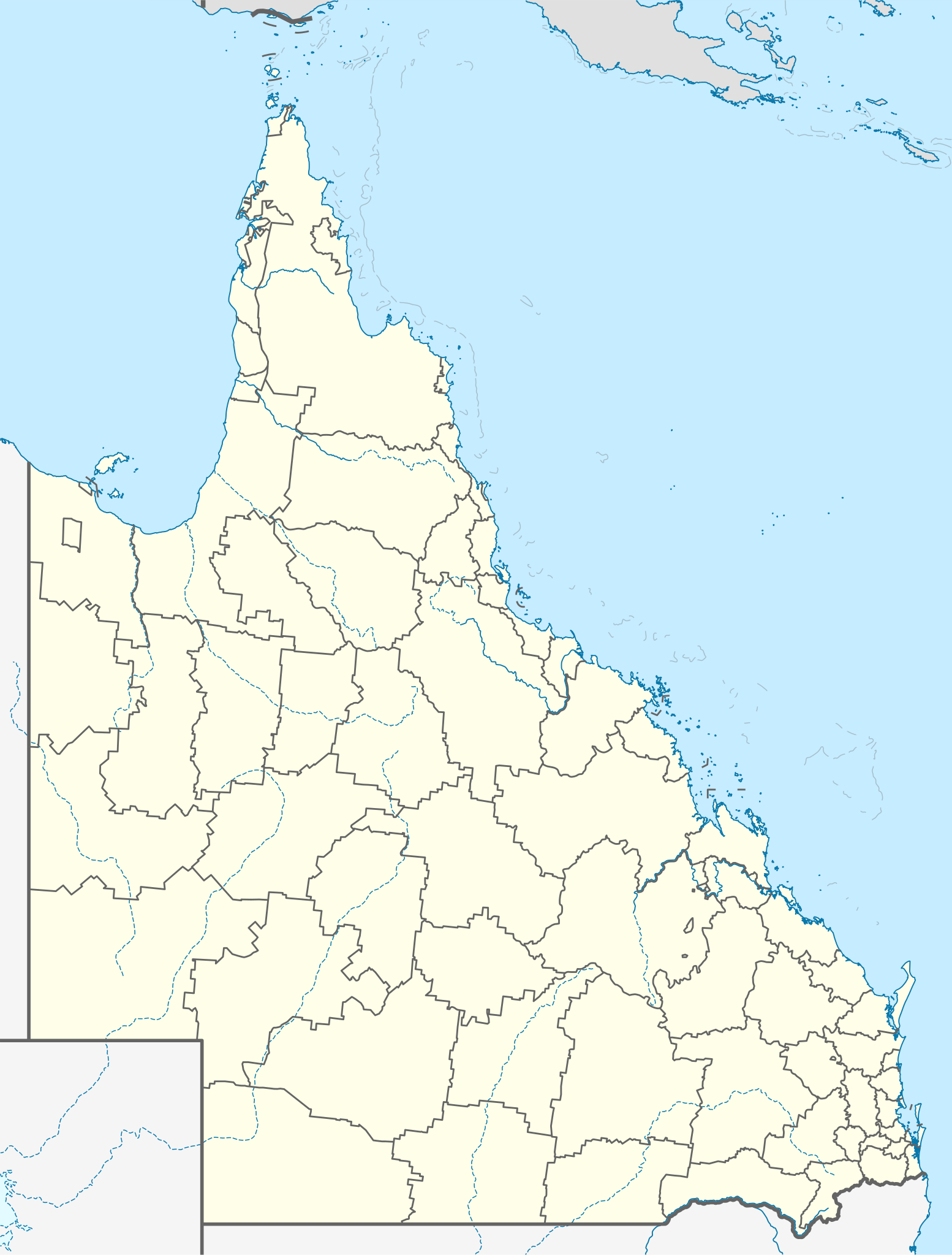
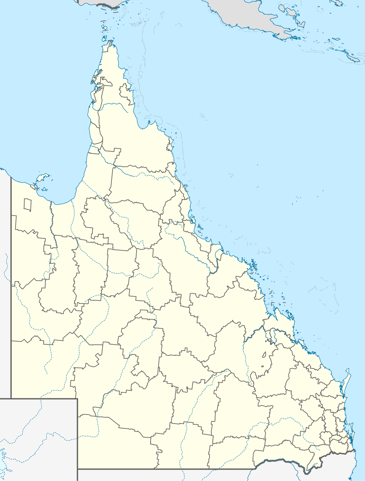
Quadratische Plattkarte, N-S-Streckung 106 %. Geographische Begrenzung der Karte:
Equirectangular projection, N/S stretching 106 %. Geographic limits of the map:
|
||
| Date | |||
| Source |
Own work, using
|
||
| Author | NordNordWest | ||
| Permission (Reusing this file) |
This file is licensed under the Creative Commons Attribution-Share Alike 3.0 Germany license.
 |
||
| SVG development | This map was created with an unknown SVG tool.
|
.svg/100px-Flag_of_the_United_Kingdom_(3-5).svg.png)

File history
Click on a date/time to view the file as it appeared at that time.
| Date/Time | Thumbnail | Dimensions | User | Comment | |
|---|---|---|---|---|---|
| current | 16:31, 3 January 2022 | | 1,169 × 1,540 (808 KB) | The2016 (talk | contribs) | Updated to show the de-amalgamated Shires of Livingstone, Noosa, Mareeba and Douglas. |
| 22:07, 4 April 2010 |  | 1,169 × 1,540 (804 KB) | Chumwa (talk | contribs) | Reverted to version as of 20:09, 21 January 2010 | |
| 19:54, 4 April 2010 |  | 1,169 × 1,540 (638 KB) | Roke~commonswiki (talk | contribs) | local government low saliance, dont appear on general use maps | |
| 20:09, 21 January 2010 |  | 1,169 × 1,540 (804 KB) | NordNordWest (talk | contribs) | final | |
| 20:26, 13 January 2010 |  | 1,169 × 1,540 (638 KB) | NordNordWest (talk | contribs) | {Information |Description= {{de|Positionskarte von Queensland, Australien, Vorversion}} Quadratische Plattkarte, N-S-Streckung 106 %. Geographische Begrenzung der Karte: * N: 9.0° S * S: 29.5° S * W: 137.5° O |
You cannot overwrite this file.
File usage on Commons
The following 3 pages use this file:
File usage on other wikis
The following other wikis use this file:
- Usage on af.wikipedia.org
- Usage on als.wikipedia.org
- Usage on ar.wikipedia.org
- Usage on arz.wikipedia.org
- Usage on ast.wikipedia.org
- Usage on azb.wikipedia.org
- Usage on ba.wikipedia.org
- Usage on be.wikipedia.org
- Usage on bg.wikipedia.org
- Usage on bn.wikipedia.org
- Usage on ceb.wikipedia.org
- Usage on cs.wikipedia.org
- Usage on da.wikipedia.org
- Usage on de.wikipedia.org
- Brisbane
- Gold Coast (Australien)
- Cairns
- Australia Zoo
- Q1 Tower
- Port Douglas (Queensland)
- Townsville
- Cooktown
- Mount Isa
- Rockhampton
- Kuranda
- Coolangatta
- Thuringowa
- Mackay (Queensland)
- Gateway Bridge
- Logan (Australien)
- Marburg (Queensland)
- Minden (Queensland)
- Mission Beach (Queensland)
- Birdsville (Queensland)
- Southport (Australien)
- Caloundra
View more global usage of this file.