File:Map Sakaide en.png
Size of this preview: 800 × 593 pixels. Other resolutions: 320 × 237 pixels | 640 × 474 pixels | 1,024 × 759 pixels | 1,081 × 801 pixels.
Original file (1,081 × 801 pixels, file size: 42 KB, MIME type: image/png)
Captions
Captions
Add a one-line explanation of what this file represents
Summary
edit
| Description |
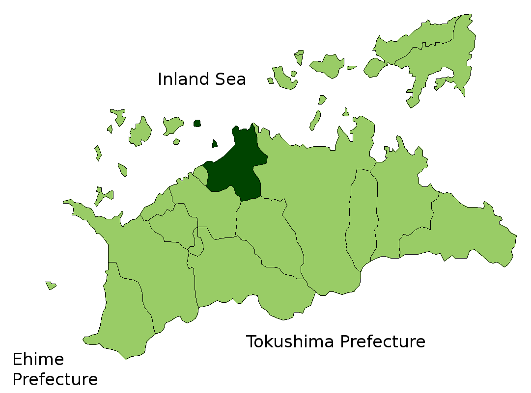
Map of Kagawa Prefecture highlighting Sakaide city. Borders of map as of October, 2006. (blank map used from [1]) See also Image:KagawaMapCurrent.png |
| Date | 27 October 2006 (original upload date) |
| Source | No machine-readable source provided. Own work assumed (based on copyright claims). |
| Author | No machine-readable author provided. Reggaeman assumed (based on copyright claims). |
Licensing
edit
| I, the copyright holder of this work, release this work into the public domain. This applies worldwide. In some countries this may not be legally possible; if so: I grant anyone the right to use this work for any purpose, without any conditions, unless such conditions are required by law. |
File history
Click on a date/time to view the file as it appeared at that time.
| Date/Time | Thumbnail | Dimensions | User | Comment | |
|---|---|---|---|---|---|
| current | 13:37, 27 October 2006 | | 1,081 × 801 (42 KB) | Reggaeman (talk | contribs) | Map of Kagawa Prefecture highlighting Sakaide city. Borders of map as of October, 2006. (blank map used from [http://aoki2.si.gunma-u.ac.jp/map/map.html]) See also Image:KagawaMapCurrent.png [[ |
You cannot overwrite this file.
File usage on Commons
The following page uses this file:
File usage on other wikis
The following other wikis use this file:
- Usage on ar.wikipedia.org
- Usage on ca.wikipedia.org
- Usage on ceb.wikipedia.org
- Usage on ce.wikipedia.org
- Usage on es.wikipedia.org
- Usage on gl.wikipedia.org
- Usage on mzn.wikipedia.org
- Usage on ro.wikipedia.org
- Usage on tg.wikipedia.org
- Usage on tl.wikipedia.org
- Usage on tt.wikipedia.org
- Usage on www.wikidata.org
- Usage on zh-classical.wikipedia.org